Trieste night lights from space
Night Light of Trieste (Friuli Venezia Giulia) from space (Italy) Src. Average luminocity for 10x10km area is 64.2576% and for 50x50km: 10.7639%.
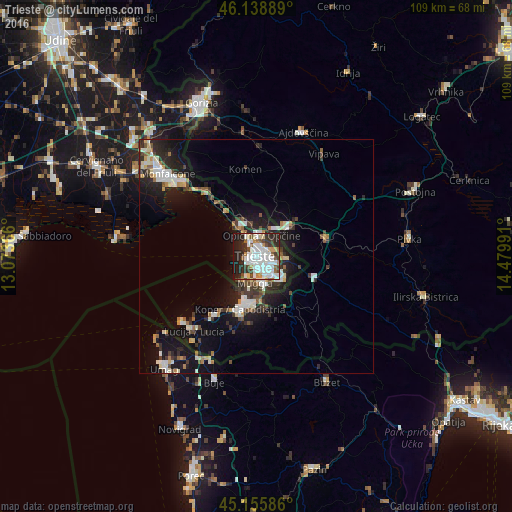
Analysis of Trieste night lights 2016
Square area 10x10 km:
 21.36%
90-99
20.61%80-89
3.33%70-79
5.45%60-69
3.03%50-59
5.45%40-49
6.97%30-39
6.67%20-29
16.36%10-19
10.76%0-9
0%Square area 50x50 km:
1.79%90-99
2.45%80-89
0.83%70-79
0.83%60-69
0.88%50-59
1.15%40-49
1.4%30-39
1.69%20-29
3.48%10-19
8.54%0-9
76.97%Clear (daylight) street map image can be seen on geolist.org.
Map coordinates:
46° 8' 20" North, 13° 4' 25.2" East
45° 38' 58.3" North, 13° 46' 36.4" East
45° 9' 21.1" North, 14° 28' 47.7" East
Fantastic image of Trieste from space taken by astronauts [src2], but I don't have information about it's orientation, scale or angle. If necessary, it was rotated manually, so North points approximately to upper direction. Click to zoom in:

Some cities around Trieste sort by population:
• Koper, SI
12 km =7.5 mi,  197°
197°
• Izola, SI
15.4 km =9.6 mi,  215°
215°
• Muggia
5.1 km =3.2 mi,  188°
188°
• Villa Opicina
4.4 km =2.7 mi,  12°
12°
• Sežana, SI
10 km =6.2 mi,  48°
48°
• Ankaran, SI
8.5 km =5.3 mi, 201°
• Divača, SI
15.5 km =9.6 mi,  75°
75°
• Kozina, SI
13.1 km =8.1 mi,  109°
109°
3165185 (p: 187,056)
Sources (retrieved 2019-11-25):
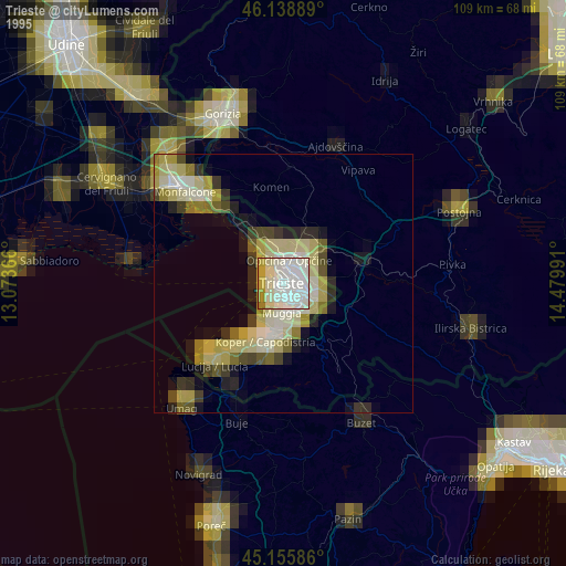
» NASA, Earths city lights 1995
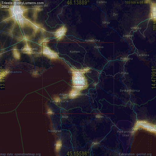
» NASA city lights 2003
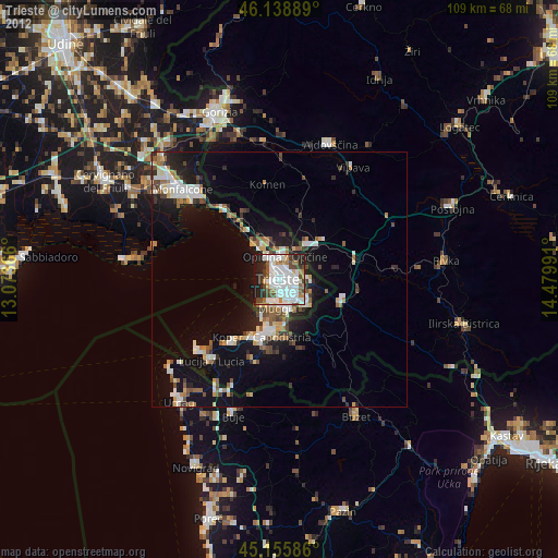
» Earth at Night: Flat Maps 2012, 2016
Src.2: NASA.gov ID: ISS037-E-16015, 2013-10-18