Dobje pri Planini night lights from space
Night Light of Dobje pri Planini (Dobje) from space (Slovenia) Src. Average luminocity for 10x10km area is 0.0554% and for 50x50km: 3.4164%.
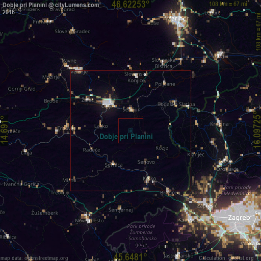
Analysis of Dobje pri Planini night lights 2016
Square area 10x10 km:
 0%
0%90-99
0%80-89
0%70-79
0%60-69
0%50-59
0%40-49
0%30-39
0%20-29
0%10-19
0%0-9
100%Square area 50x50 km:
0.34%90-99
0.62%80-89
0.23%70-79
0.36%60-69
0.33%50-59
0.55%40-49
0.47%30-39
0.5%20-29
0.72%10-19
1.82%0-9
94.05%Clear (daylight) street map image can be seen on geolist.org.
Map coordinates:
46° 37' 21.1" North, 14° 41' 27.6" East
46° 8' 14.9" North, 15° 23' 38.8" East
45° 38' 53.2" North, 16° 5' 50.1" East
Some cities around Dobje pri Planini sort by population:
• Celje
14.6 km =9.1 mi,  315°
315°
• Šentjur
8.9 km =5.5 mi,  1°
1°
• Sevnica
15.6 km =9.7 mi,  202°
202°
• Laško
12.4 km =7.7 mi,  278°
278°
• Štore
11.1 km =6.9 mi,  326°
326°
• Šmarje pri Jelšah
13.9 km =8.6 mi,  43°
43°
• Kozje
14.6 km =9.1 mi,  118°
118°
• Podčetrtek
15.9 km =9.9 mi,  82°
82°
3201988 (p: 116)
Sources (retrieved 2019-11-25):
» Earth at Night: Flat Maps 2012, 2016