Majorna night lights from space
Night Light of Majorna (Västra Götaland) from space (Sweden) Src. Average luminocity for 10x10km area is 93.0068% and for 50x50km: 19.8855%.
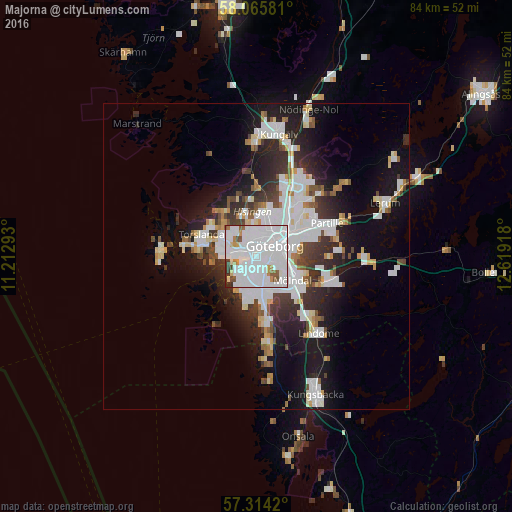
Analysis of Majorna night lights 2016
Square area 10x10 km:
 60.11%
90-99
24.32%80-89
1.48%70-79
3.75%60-69
1.7%50-59
3.86%40-49
1.82%30-39
1.93%20-29
1.02%10-19
0%0-9
0%Square area 50x50 km:
6.32%90-99
4.78%80-89
1.44%70-79
1.3%60-69
1.31%50-59
1.33%40-49
1.64%30-39
2.57%20-29
4.85%10-19
10.74%0-9
63.72%Clear (daylight) street map image can be seen on geolist.org.
Map coordinates:
58° 3' 56.9" North, 11° 12' 46.5" East
57° 41' 31" North, 11° 54' 57.8" East
57° 18' 51.1" North, 12° 37' 9" East
Some cities around Majorna sort by population:
• Göteborg
3.5 km =2.2 mi,  60°
60°
• Mölndal
7.1 km =4.4 mi,  124°
124°
• Partille
12.5 km =7.8 mi, 64°
• Björlanda
9.7 km =6 mi,  329°
329°
• Västra Frölunda
5.1 km =3.2 mi,  171°
171°
• Torslanda
9.4 km =5.8 mi,  292°
292°
• Hammarkullen
12.2 km =7.6 mi,  35°
35°
• Kållered
12.2 km =7.6 mi,  138°
138°
6619708 (p: 29,254)
Sources (retrieved 2019-11-25):
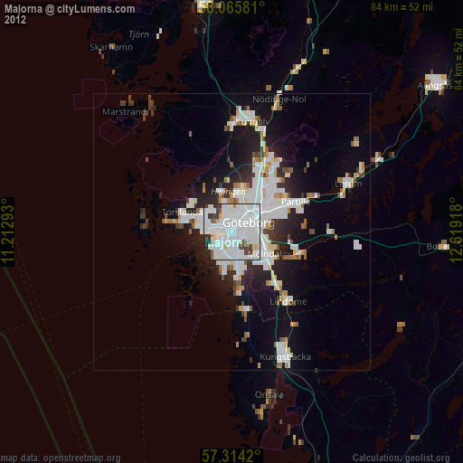
» Earth at Night: Flat Maps 2012, 2016