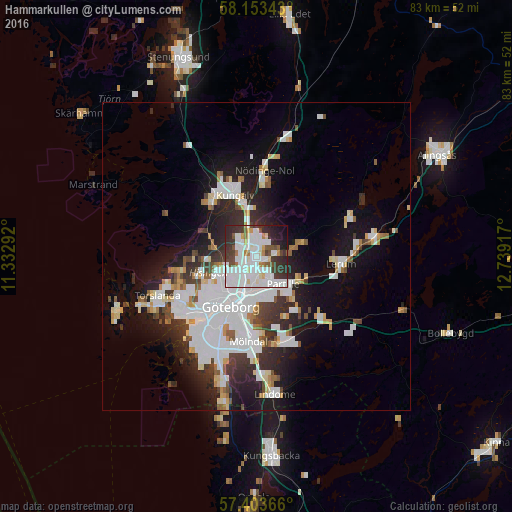
Hammarkullen night lights from space
Night Light of Hammarkullen (Västra Götaland) from space (Sweden) Src. Average luminocity for 10x10km area is 70.517% and for 50x50km: 19.7114%.
Analysis of Hammarkullen night lights 2016
Square area 10x10 km:
 27.27%
90-99
24.2%80-89
3.64%70-79
2.39%60-69
3.75%50-59
4.77%40-49
5.23%30-39
11.02%20-29
10.91%10-19
6.02%0-9
0.8%Square area 50x50 km:
6.23%90-99
4.74%80-89
1.47%70-79
1.32%60-69
1.24%50-59
1.37%40-49
1.64%30-39
2.55%20-29
4.79%10-19
9.49%0-9
65.15%Clear (daylight) street map image can be seen on geolist.org.
Map coordinates:
58° 9' 12.3" North, 11° 19' 58.5" East
57° 46' 49.8" North, 12° 2' 9.7" East
57° 24' 13.2" North, 12° 44' 21" East
Some cities around Hammarkullen sort by population:
• Göteborg
9.1 km =5.7 mi,  206°
206°
• Majorna
12.2 km =7.6 mi,  215°
215°
• Partille
6.2 km =3.9 mi,  137°
137°
• Kungälv
10.6 km =6.6 mi,  341°
341°
• Björlanda
12.1 km =7.5 mi,  262°
262°
• Gårdsten
2.7 km =1.7 mi,  351°
351°
• Lövgärdet
3.9 km =2.4 mi,  2°
2°
• Surte
5.1 km =3.2 mi, 346°
8288543 (p: 7,914)
Sources (retrieved 2019-11-25):
» Earth at Night: Flat Maps 2012, 2016