Mölndal night lights from space
Night Light of Mölndal (Västra Götaland) from space (Sweden) Src. Average luminocity for 10x10km area is 68.1583% and for 50x50km: 19.6957%.
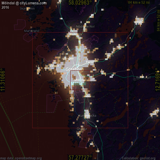
Analysis of Mölndal night lights 2016
Square area 10x10 km:
 23.93%
90-99
21.9%80-89
2.38%70-79
4.05%60-69
3.45%50-59
5.48%40-49
6.43%30-39
17.74%20-29
14.52%10-19
0.12%0-9
0%Square area 50x50 km:
6.17%90-99
4.72%80-89
1.41%70-79
1.34%60-69
1.35%50-59
1.3%40-49
1.66%30-39
2.57%20-29
4.62%10-19
10.27%0-9
64.57%Clear (daylight) street map image can be seen on geolist.org.
Map coordinates:
58° 1' 46.7" North, 11° 18' 38.4" East
57° 39' 19.4" North, 12° 0' 49.6" East
57° 16' 38.2" North, 12° 43' 0.9" East
Some cities around Mölndal sort by population:
• Göteborg
6.4 km =4 mi,  334°
334°
• Majorna
7.1 km =4.4 mi,  304°
304°
• Partille
10.9 km =6.8 mi,  30°
30°
• Västra Frölunda
5.1 km =3.2 mi,  259°
259°
• Billdal
11 km =6.8 mi,  205°
205°
• Lindome
10.7 km =6.6 mi,  157°
157°
• Landvetter
12.3 km =7.6 mi,  73°
73°
• Kållered
5.5 km =3.4 mi, 156°
2691459 (p: 59,430)
Sources (retrieved 2019-11-25):
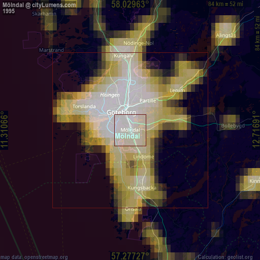
» NASA, Earths city lights 1995
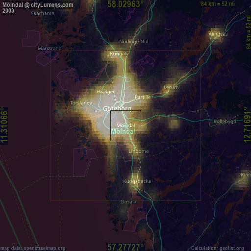
» NASA city lights 2003
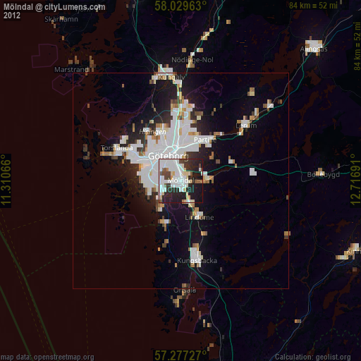
» Earth at Night: Flat Maps 2012, 2016