Torslanda night lights from space
Night Light of Torslanda (Västra Götaland) from space (Sweden) Src. Average luminocity for 10x10km area is 45.1511% and for 50x50km: 18.394%.
Analysis of Torslanda night lights 2016
Square area 10x10 km:
 10.34%
90-99
10.34%80-89
5.45%70-79
5.23%60-69
3.98%50-59
3.75%40-49
6.02%30-39
6.7%20-29
10.23%10-19
23.07%0-9
14.89%Square area 50x50 km:
6%90-99
4.41%80-89
1.32%70-79
1.14%60-69
1.22%50-59
1.27%40-49
1.53%30-39
2.52%20-29
4.79%10-19
9.28%0-9
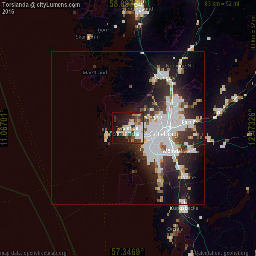
66.51%Clear (daylight) street map image can be seen on geolist.org.
Map coordinates:
58° 5' 52.2" North, 11° 4' 1.2" East
57° 43' 27.6" North, 11° 46' 12.5" East
57° 20' 48.8" North, 12° 28' 23.7" East
Some cities around Torslanda sort by population:
• Göteborg
11.8 km =7.3 mi,  99°
99°
• Mölndal
16.4 km =10.2 mi,  117°
117°
• Majorna
9.4 km =5.8 mi,  112°
112°
• Björlanda
6 km =3.7 mi,  38°
38°
• Västra Frölunda
12.8 km =8 mi,  132°
132°
• Gårdsten
17.8 km =11.1 mi,  59°
59°
• Hammarkullen
17 km =10.6 mi,  68°
68°
• Hönö
8.1 km =5 mi,  241°
241°
2667809 (p: 10,129)
Sources (retrieved 2019-11-25):
» Earth at Night: Flat Maps 2012, 2016