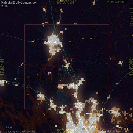
Knivsta night lights from space
Night Light of Knivsta (Uppsala) from space (Sweden) Src. Average luminocity for 10x10km area is 11.2771% and for 50x50km: 11.2801%.
Analysis of Knivsta night lights 2016
Square area 10x10 km:
 0.54%
0.54%90-99
2.16%80-89
1.84%70-79
1.41%60-69
2.49%50-59
1.08%40-49
0.87%30-39
0%20-29
0%10-19
2.92%0-9
86.69%Square area 50x50 km:
2.14%90-99
2.59%80-89
1.1%70-79
1.06%60-69
1.01%50-59
0.79%40-49
0.95%30-39
0.61%20-29
3.69%10-19
9.39%0-9
76.67%Clear (daylight) street map image can be seen on geolist.org.
Map coordinates:
60° 4' 41.7" North, 17° 5' 3.9" East
59° 43' 32.3" North, 17° 47' 15.1" East
59° 22' 9.4" North, 18° 29' 26.4" East
Some cities around Knivsta sort by population:
• Uppsala
17 km =10.6 mi,  330°
330°
• Upplands Väsby
24.1 km =15 mi,  163°
163°
• Märsta
12.2 km =7.6 mi, 161°
• Gamla Uppsala
21 km =13 mi,  335°
335°
• Bålsta
22.9 km =14.2 mi,  219°
219°
• Sävja
11.5 km =7.1 mi, 334°
• Sigtuna
12.6 km =7.8 mi,  196°
196°
• Bro
24.8 km =15.4 mi, 200°
2700199 (p: 7,977)
Sources (retrieved 2019-11-25):
» Earth at Night: Flat Maps 2012, 2016