Upplands Väsby night lights from space
Night Light of Upplands Väsby (Stockholm) from space (Sweden) Src. Average luminocity for 10x10km area is 45.7086% and for 50x50km: 27.5906%.
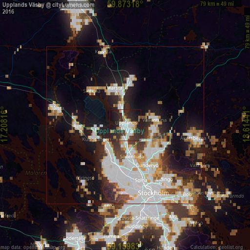
Analysis of Upplands Väsby night lights 2016
Square area 10x10 km:
 9.98%
9.98%90-99
11.9%80-89
2.15%70-79
3.4%60-69
5.9%50-59
3.06%40-49
2.38%30-39
9.75%20-29
28.8%10-19
19.16%0-9
3.51%Square area 50x50 km:
7.83%90-99
6.84%80-89
2.15%70-79
2.91%60-69
2.43%50-59
2.42%40-49
2.46%30-39
2.28%20-29
5.72%10-19
13.34%0-9
51.61%Clear (daylight) street map image can be seen on geolist.org.
Map coordinates:
59° 52' 23.4" North, 17° 12' 29.4" East
59° 31' 6.2" North, 17° 54' 40.6" East
59° 9' 35.4" North, 18° 36' 51.9" East
Some cities around Upplands Väsby sort by population:
• Sollentuna
10.3 km =6.4 mi,  167°
167°
• Täby
12.2 km =7.6 mi,  132°
132°
• Vallentuna
9.5 km =5.9 mi,  79°
79°
• Märsta
11.9 km =7.4 mi,  344°
344°
• Jakobsberg
11.5 km =7.1 mi,  202°
202°
• Kista
13 km =8.1 mi, 171°
• Kungsängen
10.2 km =6.3 mi,  244°
244°
• Akalla
11.5 km =7.1 mi,  179°
179°
2666238 (p: 36,534)
Sources (retrieved 2019-11-25):
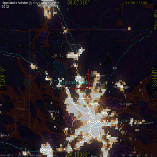
» Earth at Night: Flat Maps 2012, 2016