Uppsala night lights from space
Night Light of Uppsala from space (Sweden) Src. Average luminocity for 10x10km area is 63.3387% and for 50x50km: 5.8098%.
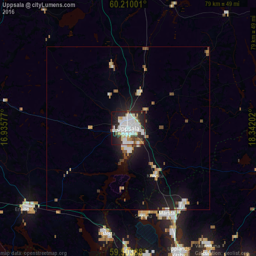
Analysis of Uppsala night lights 2016
Square area 10x10 km:
 20.67%
90-99
22.4%80-89
5.74%70-79
2.81%60-69
3.25%50-59
3.14%40-49
4.11%30-39
6.39%20-29
16.67%10-19
12.99%0-9
1.84%Square area 50x50 km:
1.07%90-99
1.4%80-89
0.56%70-79
0.44%60-69
0.46%50-59
0.55%40-49
0.73%30-39
0.35%20-29
1.61%10-19
3.82%0-9
89.01%Clear (daylight) street map image can be seen on geolist.org.
Map coordinates:
60° 12' 36" North, 16° 56' 8.8" East
59° 51' 31.8" North, 17° 38' 20" East
59° 30' 14" North, 18° 20' 31.3" East
Some cities around Uppsala sort by population:
• Märsta
29 km =18 mi,  155°
155°
• Gamla Uppsala
4.4 km =2.7 mi,  356°
356°
• Bålsta
33 km =20.5 mi,  190°
190°
• Sävja
5.6 km =3.5 mi,  142°
142°
• Sigtuna
27.3 km =17 mi,  169°
169°
• Knivsta
17 km =10.6 mi,  150°
150°
• Storvreta
11.8 km =7.3 mi,  18°
18°
• Nykvarn
37.5 km =23.3 mi,  100°
100°
2666199 (p: 149,245)
Sources (retrieved 2019-11-25):
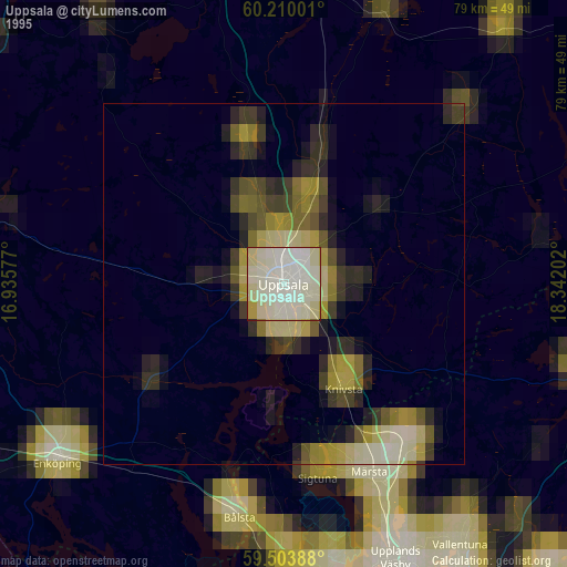
» NASA, Earths city lights 1995
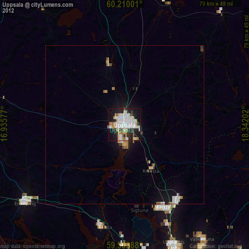
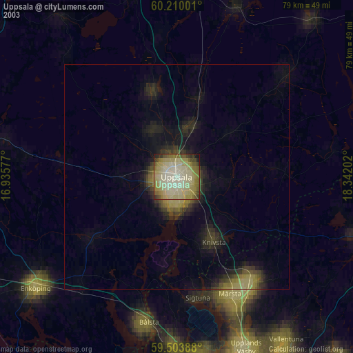
» NASA city lights 2003
» Earth at Night: Flat Maps 2012, 2016