Halmstad night lights from space
Night Light of Halmstad (Halland) from space (Sweden) Src. Average luminocity for 10x10km area is 53.5607% and for 50x50km: 4.5639%.
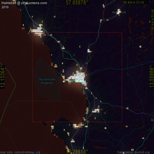
Analysis of Halmstad night lights 2016
Square area 10x10 km:
 19.64%
90-99
16.79%80-89
1.79%70-79
1.9%60-69
2.02%50-59
1.31%40-49
4.17%30-39
3.57%20-29
26.67%10-19
20.12%0-9
2.02%Square area 50x50 km:
1.01%90-99
0.92%80-89
0.26%70-79
0.37%60-69
0.3%50-59
0.38%40-49
0.54%30-39
0.44%20-29
1.43%10-19
3.36%0-9
91.01%Clear (daylight) street map image can be seen on geolist.org.
Map coordinates:
57° 3' 31.6" North, 12° 9' 13.1" East
56° 40' 28.1" North, 12° 51' 24.3" East
56° 17' 10.2" North, 13° 33' 35.6" East
Some cities around Halmstad sort by population:
• Varberg
60.4 km =37.5 mi,  322°
322°
• Falkenberg
34 km =21.1 mi, 319°
• Ängelholm
48 km =29.8 mi,  179°
179°
• Höganäs
55.9 km =34.7 mi,  199°
199°
• Åstorp
60.2 km =37.4 mi,  174°
174°
• Laholm
21.4 km =13.3 mi,  147°
147°
• Örkelljunga
50.6 km =31.4 mi, 149°
• Båstad
27.5 km =17.1 mi, 180°
2708365 (p: 66,124)
Sources (retrieved 2019-11-25):
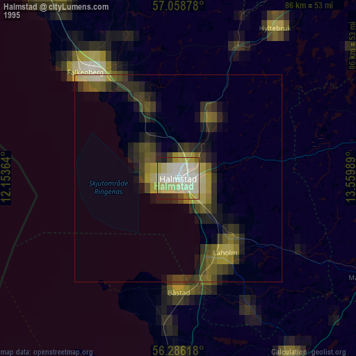
» NASA, Earths city lights 1995
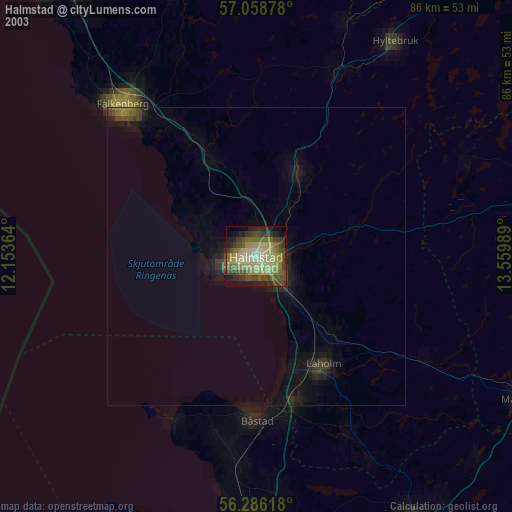
» NASA city lights 2003
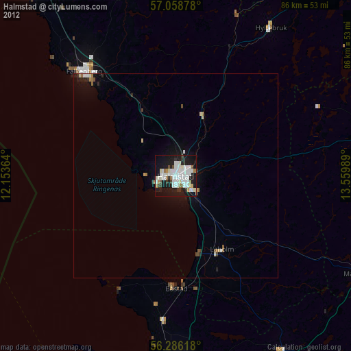
» Earth at Night: Flat Maps 2012, 2016