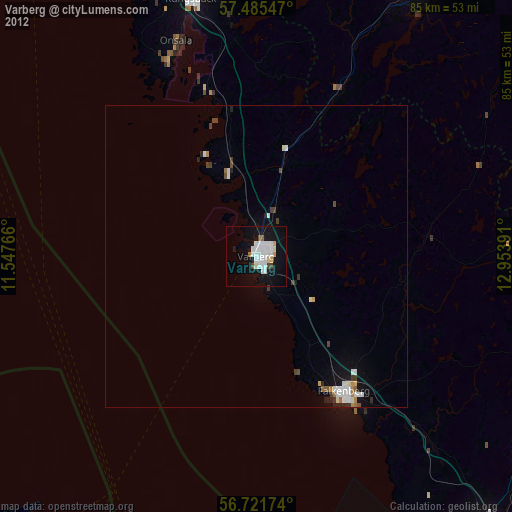
Varberg night lights from space
Night Light of Varberg (Halland) from space (Sweden) Src. Average luminocity for 10x10km area is 26.3167% and for 50x50km: 3.2379%.
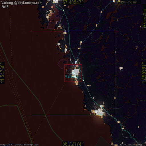
Analysis of Varberg night lights 2016
Square area 10x10 km:
 8.33%
8.33%90-99
6.9%80-89
0%70-79
0.95%60-69
2.26%50-59
1.19%40-49
1.43%30-39
0.6%20-29
7.02%10-19
32.86%0-9
38.45%Square area 50x50 km:
0.73%90-99
0.75%80-89
0.17%70-79
0.22%60-69
0.28%50-59
0.22%40-49
0.33%30-39
0.21%20-29
0.65%10-19
2.6%0-9
93.83%Clear (daylight) street map image can be seen on geolist.org.
Map coordinates:
57° 29' 7.7" North, 11° 32' 51.6" East
57° 6' 20.1" North, 12° 15' 2.8" East
56° 43' 18.3" North, 12° 57' 14.1" East
Some cities around Varberg sort by population:
• Falkenberg
26.6 km =16.5 mi,  146°
146°
• Kungsbacka
43.7 km =27.2 mi,  346°
346°
• Kinna
52 km =32.3 mi,  30°
30°
• Billdal
54.7 km =34 mi,  339°
339°
• Onsala
38 km =23.6 mi, 339°
• Lindome
52.2 km =32.4 mi, 348°
• Kållered
57.3 km =35.6 mi, 347°
• Åsa
28.4 km =17.6 mi, 343°
2664996 (p: 34,248)
Sources (retrieved 2019-11-25):
» Earth at Night: Flat Maps 2012, 2016