Båstad night lights from space
Night Light of Båstad (Skåne) from space (Sweden) Src. Average luminocity for 10x10km area is 12.6702% and for 50x50km: 4.045%.
Analysis of Båstad night lights 2016
Square area 10x10 km:
 0.48%
0.48%90-99
1.19%80-89
2.74%70-79
1.31%60-69
1.67%50-59
2.14%40-49
3.33%30-39
1.67%20-29
0.71%10-19
0.36%0-9
84.4%Square area 50x50 km:
0.6%90-99
0.56%80-89
0.43%70-79
0.37%60-69
0.47%50-59
0.38%40-49
0.49%30-39
0.47%20-29
0.81%10-19
2.92%0-9
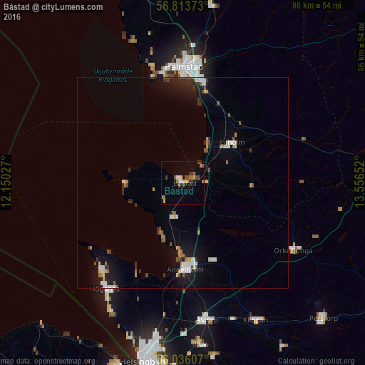
92.51%Clear (daylight) street map image can be seen on geolist.org.
Map coordinates:
56° 48' 49.4" North, 12° 9' 1" East
56° 25' 36.8" North, 12° 51' 12.2" East
56° 2' 9.9" North, 13° 33' 23.5" East
Some cities around Båstad sort by population:
• Halmstad
27.5 km =17.1 mi,  0°
0°
• Ängelholm
20.5 km =12.7 mi,  178°
178°
• Höganäs
31.1 km =19.3 mi,  215°
215°
• Åstorp
32.9 km =20.4 mi,  170°
170°
• Klippan
36.6 km =22.7 mi,  152°
152°
• Laholm
15 km =9.3 mi,  50°
50°
• Ödåkra
36.5 km =22.7 mi,  190°
190°
• Örkelljunga
30.6 km =19 mi,  121°
121°
2723287 (p: 5,146)
Sources (retrieved 2019-11-25):
» Earth at Night: Flat Maps 2012, 2016