Farasān night lights from space
Night Light of Farasān (Jizan) from space (Saudi Arabia) Src. Average luminocity for 10x10km area is 56.5195% and for 50x50km: 3.9848%.
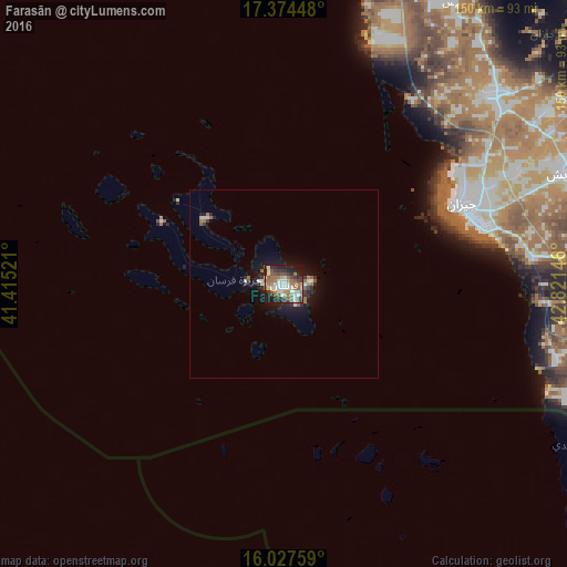
Analysis of Farasān night lights 2016
Square area 10x10 km:
 11.04%
90-99
12.77%80-89
3.9%70-79
2.6%60-69
13.2%50-59
13.2%40-49
9.09%30-39
9.52%20-29
11.04%10-19
13.64%0-9
0%Square area 50x50 km:
0.51%90-99
0.76%80-89
0.23%70-79
0.12%60-69
0.81%50-59
0.86%40-49
0.42%30-39
0.6%20-29
1.05%10-19
3.31%0-9
91.33%Clear (daylight) street map image can be seen on geolist.org.
Map coordinates:
17° 22' 28.1" North, 41° 24' 54.8" East
16° 42' 8" North, 42° 7' 6" East
16° 1' 39.3" North, 42° 49' 17.3" East
Some cities around Farasān sort by population:
• Jizan
50.5 km =31.4 mi,  65°
65°
• Şabyā
73.4 km =45.6 mi,  47°
47°
• Abū ‘Arīsh
81.6 km =50.7 mi, 68°
• Şāmitah
88.8 km =55.2 mi,  97°
97°
• Al Jarādīyah
85.7 km =53.3 mi, 99°
• Mislīyah
96.3 km =59.8 mi,  28°
28°
• Mizhirah
66.9 km =41.6 mi,  78°
78°
• Ad Darb
114.4 km =71.1 mi,  7°
7°
106744 (p: 10,527)
Sources (retrieved 2019-11-25):
» Earth at Night: Flat Maps 2012, 2016