Abqaiq night lights from space
Night Light of Abqaiq (Eastern Province) from space (Saudi Arabia) Src. Average luminocity for 10x10km area is 76.7424% and for 50x50km: 15.5799%.
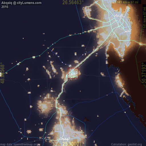
Analysis of Abqaiq night lights 2016
Square area 10x10 km:
 15.91%
90-99
24.81%80-89
7.95%70-79
16.29%60-69
15.53%50-59
7.01%40-49
4.92%30-39
4.55%20-29
3.03%10-19
0%0-9
0%Square area 50x50 km:
1.17%90-99
3.09%80-89
1.72%70-79
1.98%60-69
3.16%50-59
1.82%40-49
1.51%30-39
2.14%20-29
4.21%10-19
14.68%0-9
64.54%Clear (daylight) street map image can be seen on geolist.org.
Map coordinates:
26° 33' 52.7" North, 48° 57' 56.4" East
25° 56' 2.5" North, 49° 40' 7.7" East
25° 18' 0" North, 50° 22' 18.9" East
Some cities around Abqaiq sort by population:
• Al Mubarraz
59.1 km =36.7 mi,  187°
187°
• Dhahran
59.4 km =36.9 mi,  48°
48°
• Al Baţţālīyah
55.8 km =34.7 mi,  183°
183°
• Al Qurayn
50.6 km =31.4 mi, 187°
• Al Jubayl
59.4 km =36.9 mi, 181°
• Al Qārah
57.5 km =35.7 mi, 180°
• Al Muţayrifī
51.8 km =32.2 mi, 192°
• Julayjilah
48.7 km =30.3 mi, 188°
107312 (p: 29,474)
Sources (retrieved 2019-11-25):
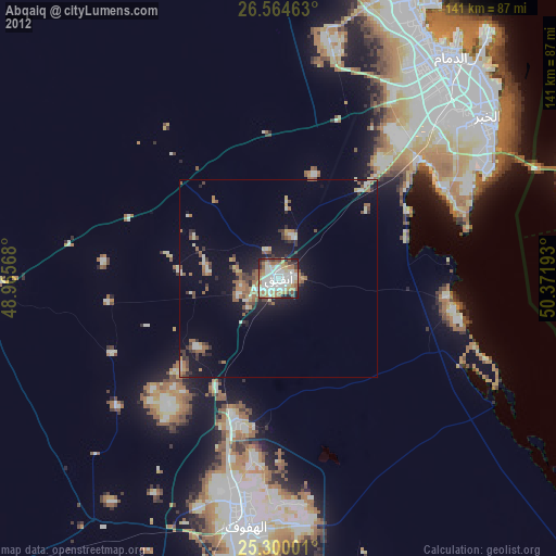
» Earth at Night: Flat Maps 2012, 2016