Zhirnov night lights from space
Night Light of Zhirnov (Rostov) from space (Russia) Src. Average luminocity for 10x10km area is 5.6592% and for 50x50km: 0.9525%.
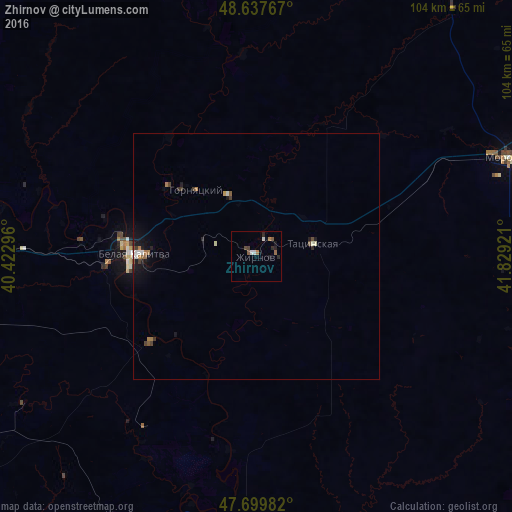
Analysis of Zhirnov night lights 2016
Square area 10x10 km:
 0.74%
0.74%90-99
1.04%80-89
0%70-79
0%60-69
1.34%50-59
1.64%40-49
1.04%30-39
0.3%20-29
2.23%10-19
1.34%0-9
90.33%Square area 50x50 km:
0.08%90-99
0.15%80-89
0.05%70-79
0.05%60-69
0.22%50-59
0.14%40-49
0.18%30-39
0.16%20-29
0.21%10-19
0.66%0-9
98.09%Clear (daylight) street map image can be seen on geolist.org.
Map coordinates:
48° 38' 15.6" North, 40° 25' 22.7" East
48° 10' 15.2" North, 41° 7' 33.9" East
47° 41' 59.4" North, 41° 49' 45.2" East
Some cities around Zhirnov sort by population:
• Belaya Kalitva
26.1 km =16.2 mi,  273°
273°
• Morozovsk
55.7 km =34.6 mi,  68°
68°
• Ust’-Donetskiy
61.8 km =38.4 mi,  197°
197°
• Tatsinskiy
11.5 km =7.1 mi,  75°
75°
• Sholokhovskiy
13.6 km =8.5 mi,  334°
334°
• Gornyatskiy
20.5 km =12.7 mi,  313°
313°
• Koksovyy
35.9 km =22.3 mi, 274°
• Sinegorskiy
27.2 km =16.9 mi,  230°
230°
462988 (p: 6,069)
Sources (retrieved 2019-11-25):
» Earth at Night: Flat Maps 2012, 2016