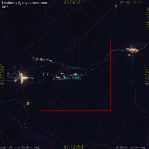
Tatsinskiy night lights from space
Night Light of Tatsinskiy (Rostov) from space (Russia) Src. Average luminocity for 10x10km area is 2.1012% and for 50x50km: 0.429%.
Analysis of Tatsinskiy night lights 2016
Square area 10x10 km:
 0%
0%90-99
0.6%80-89
0.6%70-79
0%60-69
0%50-59
0%40-49
1.19%30-39
0%20-29
0.6%10-19
1.19%0-9
95.83%Square area 50x50 km:
0.03%90-99
0.09%80-89
0.05%70-79
0.02%60-69
0.07%50-59
0.09%40-49
0.1%30-39
0.04%20-29
0.13%10-19
0.12%0-9
99.26%Clear (daylight) street map image can be seen on geolist.org.
Map coordinates:
48° 39' 47.9" North, 40° 34' 20.9" East
48° 11' 48.4" North, 41° 16' 32.1" East
47° 43' 33.4" North, 41° 58' 43.4" East
Some cities around Tatsinskiy sort by population:
• Belaya Kalitva
37.2 km =23.1 mi,  268°
268°
• Morozovsk
44.4 km =27.6 mi,  66°
66°
• Ust’-Donetskiy
68.6 km =42.6 mi,  205°
205°
• Sholokhovskiy
19.4 km =12.1 mi,  298°
298°
• Gornyatskiy
28.3 km =17.6 mi,  293°
293°
• Koksovyy
46.9 km =29.1 mi, 270°
• Sinegorskiy
37.9 km =23.5 mi,  237°
237°
• Zhirnov
11.5 km =7.1 mi,  255°
255°
484017 (p: 11,258)
Sources (retrieved 2019-11-25):
» Earth at Night: Flat Maps 2012, 2016