Zaraysk night lights from space
Night Light of Zaraysk (Moscow Oblast) from space (Russia) Src. Average luminocity for 10x10km area is 7.2594% and for 50x50km: 1.8328%.
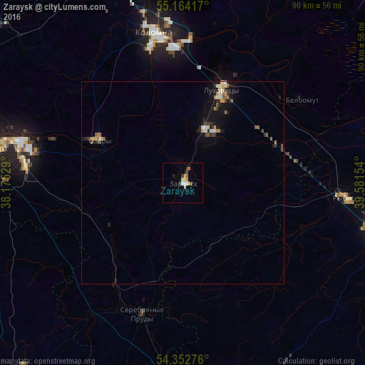
Analysis of Zaraysk night lights 2016
Square area 10x10 km:
 1%
1%90-99
1%80-89
1.13%70-79
0.88%60-69
1.38%50-59
0.38%40-49
0.88%30-39
1.38%20-29
0.5%10-19
0.5%0-9
90.98%Square area 50x50 km:
0.17%90-99
0.29%80-89
0.14%70-79
0.22%60-69
0.32%50-59
0.25%40-49
0.18%30-39
0.29%20-29
0.4%10-19
1.36%0-9
96.37%Clear (daylight) street map image can be seen on geolist.org.
Map coordinates:
55° 9' 51" North, 38° 10' 31" East
54° 45' 37.8" North, 38° 52' 42.3" East
54° 21' 9.9" North, 39° 34' 53.5" East
Some cities around Zaraysk sort by population:
• Kolomna
36 km =22.4 mi,  349°
349°
• Kashira
46.5 km =28.9 mi,  281°
281°
• Lukhovitsy
26.3 km =16.3 mi,  23°
23°
• Ozëry
23.7 km =14.7 mi,  297°
297°
• Rybnoye
41.2 km =25.6 mi,  95°
95°
• Ozherel’ye
39.5 km =24.5 mi, 275°
• Serebryanyye Prudy
33.9 km =21.1 mi,  197°
197°
• Beloomut
35.9 km =22.3 mi,  55°
55°
464687 (p: 24,637)
Sources (retrieved 2019-11-25):
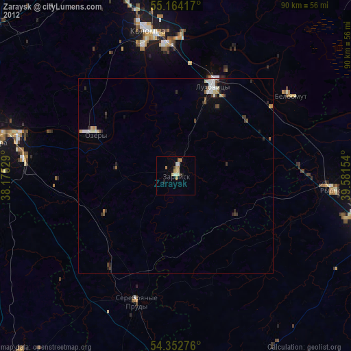
» Earth at Night: Flat Maps 2012, 2016