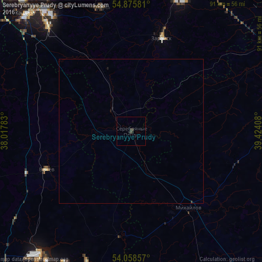
Serebryanyye Prudy night lights from space
Night Light of Serebryanyye Prudy (Moscow Oblast) from space (Russia) Src. Average luminocity for 10x10km area is 0.8301% and for 50x50km: 0.0546%.
Analysis of Serebryanyye Prudy night lights 2016
Square area 10x10 km:
 0%
0%90-99
0%80-89
0%70-79
0%60-69
0%50-59
0%40-49
0.6%30-39
0.84%20-29
0.48%10-19
0.96%0-9
97.13%Square area 50x50 km:
0%90-99
0%80-89
0%70-79
0%60-69
0%50-59
0%40-49
0.03%30-39
0.04%20-29
0.03%10-19
0.08%0-9
99.8%Clear (daylight) street map image can be seen on geolist.org.
Map coordinates:
54° 52' 32.9" North, 38° 1' 4.2" East
54° 28' 9.2" North, 38° 43' 15.4" East
54° 3' 30.9" North, 39° 25' 26.7" East
Some cities around Serebryanyye Prudy sort by population:
• Ozëry
44.8 km =27.8 mi,  345°
345°
• Zaraysk
33.9 km =21.1 mi,  17°
17°
• Severo-Zadonsk
52.6 km =32.7 mi,  203°
203°
• Venëv
31.9 km =19.8 mi,  246°
246°
• Mikhaylov
33.2 km =20.6 mi,  143°
143°
• Ozherel’ye
46.3 km =28.8 mi,  320°
320°
• Gritsovskiy
51.8 km =32.2 mi,  224°
224°
• Oktyabr’skiy
29.2 km =18.1 mi,  157°
157°
496879 (p: 8,953)
Sources (retrieved 2019-11-25):
» Earth at Night: Flat Maps 2012, 2016