Kashira night lights from space
Night Light of Kashira (Moscow Oblast) from space (Russia) Src. Average luminocity for 10x10km area is 37.4522% and for 50x50km: 4.5506%.
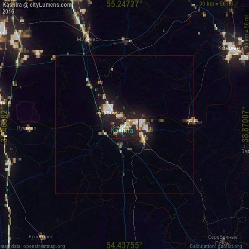
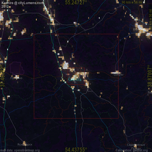
Analysis of Kashira night lights 2016
Square area 10x10 km:
 4.55%
4.55%90-99
7.18%80-89
3.23%70-79
4.55%60-69
4.9%50-59
5.62%40-49
2.63%30-39
4.19%20-29
23.56%10-19
36.48%0-9
3.11%Square area 50x50 km:
0.62%90-99
0.77%80-89
0.33%70-79
0.53%60-69
0.47%50-59
0.5%40-49
0.57%30-39
0.61%20-29
1.66%10-19
4.78%0-9
89.16%Clear (daylight) street map image can be seen on geolist.org.
Map coordinates:
55° 14' 50.2" North, 37° 27' 49.8" East
54° 50' 40" North, 38° 10' 1" East
54° 26' 15.2" North, 38° 52' 12.3" East
Some cities around Kashira sort by population:
• Kolomna
47 km =29.2 mi,  56°
56°
• Serpukhov
49 km =30.4 mi,  279°
279°
• Stupino
8.8 km =5.5 mi,  315°
315°
• Ozëry
24.6 km =15.3 mi,  85°
85°
• Zaraysk
46.5 km =28.9 mi,  101°
101°
• Pushchino
35.6 km =22.1 mi,  268°
268°
• Mikhnëvo
34.3 km =21.3 mi,  336°
336°
• Ozherel’ye
8.6 km =5.3 mi,  132°
132°
551964 (p: 40,084)
Sources (retrieved 2019-11-25):
» Earth at Night: Flat Maps 2012, 2016