Isyangulovo night lights from space
Night Light of Isyangulovo (Bashkortostan Republic) from space (Russia) Src. Average luminocity for 10x10km area is 0% and for 50x50km: 0%.
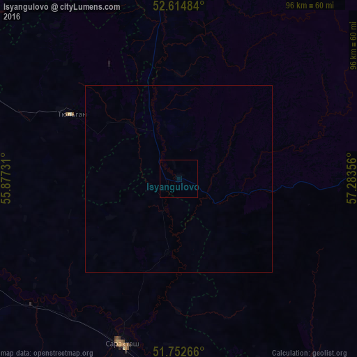
Analysis of Isyangulovo night lights 2016
Square area 10x10 km:
 0%
0%90-99
0%80-89
0%70-79
0%60-69
0%50-59
0%40-49
0%30-39
0%20-29
0%10-19
0%0-9
100%Square area 50x50 km:
0%90-99
0%80-89
0%70-79
0%60-69
0%50-59
0%40-49
0%30-39
0%20-29
0%10-19
0%0-9
100%Clear (daylight) street map image can be seen on geolist.org.
Map coordinates:
52° 36' 53.4" North, 55° 52' 38.3" East
52° 11' 9" North, 56° 34' 49.5" East
51° 45' 9.6" North, 57° 17' 0.8" East
Some cities around Isyangulovo sort by population:
• Kumertau
84.2 km =52.3 mi,  320°
320°
• Saraktash
46.8 km =29.1 mi,  198°
198°
• Tyul’gan
33 km =20.5 mi,  301°
301°
• Mrakovo
59 km =36.7 mi,  2°
2°
• Yermolayevo
79.2 km =49.2 mi, 318°
• Zilair
58.7 km =36.5 mi,  84°
84°
• Yumaguzino
80.9 km =50.3 mi,  350°
350°
• Belyayevka
88.4 km =54.9 mi,  187°
187°
555717 (p: 7,455)
Sources (retrieved 2019-11-25):
» Earth at Night: Flat Maps 2012, 2016