Yartsevo night lights from space
Night Light of Yartsevo (Smolensk) from space (Russia) Src. Average luminocity for 10x10km area is 21.1441% and for 50x50km: 0.9714%.
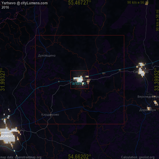
Analysis of Yartsevo night lights 2016
Square area 10x10 km:
 3.51%
3.51%90-99
7.02%80-89
1.13%70-79
2.63%60-69
0.75%50-59
1.25%40-49
0.25%30-39
0.88%20-29
1.5%10-19
26.57%0-9
54.51%Square area 50x50 km:
0.14%90-99
0.28%80-89
0.06%70-79
0.11%60-69
0.03%50-59
0.05%40-49
0.03%30-39
0.08%20-29
0.1%10-19
1.15%0-9
97.97%Clear (daylight) street map image can be seen on geolist.org.
Map coordinates:
55° 28' 2.2" North, 31° 59' 35.8" East
55° 4' 0" North, 32° 41' 47" East
54° 39' 43.3" North, 33° 23' 58.3" East
Some cities around Yartsevo sort by population:
• Smolensk
52.6 km =32.7 mi,  232°
232°
• Safonovo
34.5 km =21.4 mi,  81°
81°
• Verkhnedneprovskiy
42.5 km =26.4 mi,  102°
102°
• Dorogobuzh
41.9 km =26 mi,  113°
113°
• Yel’nya
62.6 km =38.9 mi,  150°
150°
• Pochinok
75.2 km =46.7 mi,  192°
192°
• Demidov
78.4 km =48.7 mi,  286°
286°
• Ozërnyy
59.9 km =37.2 mi,  342°
342°
468866 (p: 52,706)
Sources (retrieved 2019-11-25):
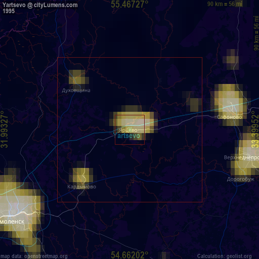
» NASA, Earths city lights 1995
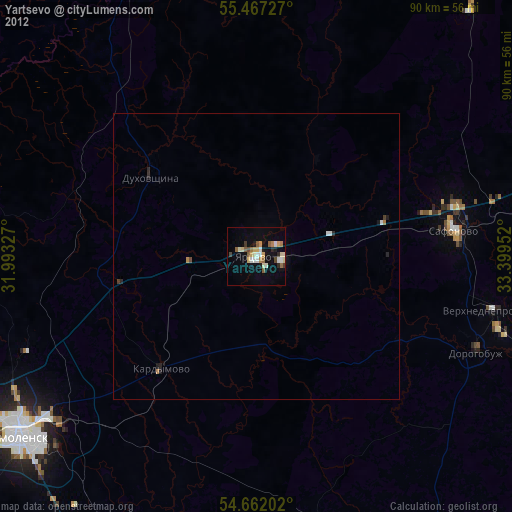
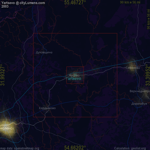
» NASA city lights 2003
» Earth at Night: Flat Maps 2012, 2016