Ozërnyy night lights from space
Night Light of Ozërnyy (Smolensk) from space (Russia) Src. Average luminocity for 10x10km area is 0.7105% and for 50x50km: 0.0405%.
Analysis of Ozërnyy night lights 2016
Square area 10x10 km:
 0%
0%90-99
0%80-89
0%70-79
0%60-69
0%50-59
0.13%40-49
1.38%30-39
0%20-29
0%10-19
0%0-9
98.5%Square area 50x50 km:
0%90-99
0%80-89
0%70-79
0%60-69
0.02%50-59
0%40-49
0.05%30-39
0%20-29
0%10-19
0%0-9
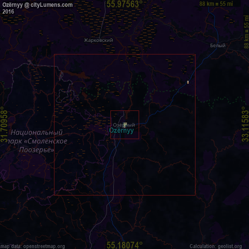
99.92%Clear (daylight) street map image can be seen on geolist.org.
Map coordinates:
55° 58' 32.3" North, 31° 42' 34.5" East
55° 34' 48.7" North, 32° 24' 45.7" East
55° 10' 50.7" North, 33° 6' 57" East
Some cities around Ozërnyy sort by population:
• Smolensk
91.9 km =57.1 mi,  194°
194°
• Yartsevo
59.9 km =37.2 mi,  162°
162°
• Safonovo
73.6 km =45.7 mi,  135°
135°
• Nelidovo
74.8 km =46.5 mi,  17°
17°
• Verkhnedneprovskiy
89 km =55.3 mi, 138°
• Zapadnaya Dvina
78.4 km =48.7 mi,  344°
344°
• Demidov
66.3 km =41.2 mi,  238°
238°
• Velizh
76.5 km =47.5 mi,  272°
272°
513426 (p: 5,921)
Sources (retrieved 2019-11-25):
» Earth at Night: Flat Maps 2012, 2016