Demidov night lights from space
Night Light of Demidov (Smolensk) from space (Russia) Src. Average luminocity for 10x10km area is 0% and for 50x50km: 0%.
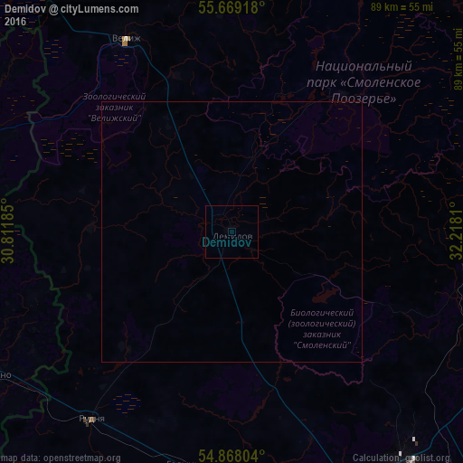
Analysis of Demidov night lights 2016
Square area 10x10 km:
 0%
0%90-99
0%80-89
0%70-79
0%60-69
0%50-59
0%40-49
0%30-39
0%20-29
0%10-19
0%0-9
100%Square area 50x50 km:
0%90-99
0%80-89
0%70-79
0%60-69
0%50-59
0%40-49
0%30-39
0%20-29
0%10-19
0%0-9
100%Clear (daylight) street map image can be seen on geolist.org.
Map coordinates:
55° 40' 9" North, 30° 48' 42.7" East
55° 16' 14.3" North, 31° 30' 53.9" East
54° 52' 4.9" North, 32° 13' 5.2" East
Some cities around Demidov sort by population:
• Vitebsk, BY
83.5 km =51.9 mi,  263°
263°
• Smolensk
63.8 km =39.6 mi,  148°
148°
• Yartsevo
78.4 km =48.7 mi,  106°
106°
• Rudnya
44.9 km =27.9 mi,  216°
216°
• Velizh
42.3 km =26.3 mi,  331°
331°
• Dubrowna, BY
93.9 km =58.3 mi,  214°
214°
• Lyozna, BY
53.2 km =33.1 mi,  239°
239°
• Ozërnyy
66.3 km =41.2 mi,  58°
58°
566751 (p: 8,516)
Sources (retrieved 2019-11-25):
» Earth at Night: Flat Maps 2012, 2016