Pochinok night lights from space
Night Light of Pochinok (Smolensk) from space (Russia) Src. Average luminocity for 10x10km area is 3.7356% and for 50x50km: 0.1649%.
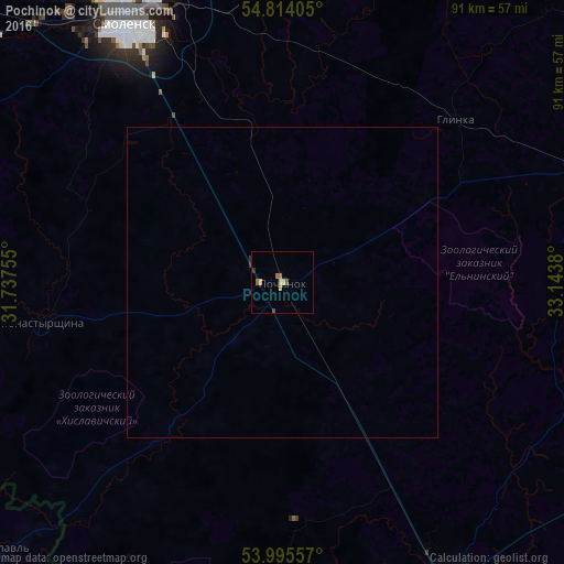
Analysis of Pochinok night lights 2016
Square area 10x10 km:
 0%
0%90-99
0%80-89
1.44%70-79
0.48%60-69
1.08%50-59
0.72%40-49
0.6%30-39
0.6%20-29
0.36%10-19
0.12%0-9
94.62%Square area 50x50 km:
0%90-99
0%80-89
0.06%70-79
0.02%60-69
0.04%50-59
0.03%40-49
0.02%30-39
0.04%20-29
0.02%10-19
0%0-9
99.76%Clear (daylight) street map image can be seen on geolist.org.
Map coordinates:
54° 48' 50.6" North, 31° 44' 15.2" East
54° 24' 24.7" North, 32° 26' 26.4" East
53° 59' 44.1" North, 33° 8' 37.7" East
Some cities around Pochinok sort by population:
• Smolensk
49 km =30.4 mi,  328°
328°
• Roslavl’
57.5 km =35.7 mi,  151°
151°
• Yartsevo
75.2 km =46.7 mi,  12°
12°
• Desnogorsk
61.6 km =38.3 mi,  117°
117°
• Verkhnedneprovskiy
86.4 km =53.7 mi,  42°
42°
• Dorogobuzh
78.9 km =49 mi, 44°
• Mstsislaw, BY
63.6 km =39.5 mi,  227°
227°
• Yel’nya
51.6 km =32.1 mi,  68°
68°
508606 (p: 9,310)
Sources (retrieved 2019-11-25):
» Earth at Night: Flat Maps 2012, 2016