Safonovo night lights from space
Night Light of Safonovo (Smolensk) from space (Russia) Src. Average luminocity for 10x10km area is 22.3797% and for 50x50km: 1.3226%.
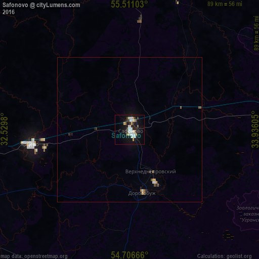
Analysis of Safonovo night lights 2016
Square area 10x10 km:
 4.89%
4.89%90-99
6.52%80-89
0.75%70-79
2.76%60-69
1.13%50-59
0.5%40-49
1.5%30-39
2.88%20-29
3.88%10-19
22.56%0-9
52.63%Square area 50x50 km:
0.23%90-99
0.28%80-89
0.05%70-79
0.18%60-69
0.08%50-59
0.09%40-49
0.14%30-39
0.18%20-29
0.23%10-19
1.11%0-9
97.41%Clear (daylight) street map image can be seen on geolist.org.
Map coordinates:
55° 30' 39.7" North, 32° 31' 47.3" East
55° 6' 39.1" North, 33° 13' 58.5" East
54° 42' 24" North, 33° 56' 9.8" East
Some cities around Safonovo sort by population:
• Smolensk
84.5 km =52.5 mi,  244°
244°
• Vyaz’ma
68.4 km =42.5 mi,  80°
80°
• Yartsevo
34.5 km =21.4 mi,  261°
261°
• Verkhnedneprovskiy
16.1 km =10 mi,  153°
153°
• Dorogobuzh
22.2 km =13.8 mi,  169°
169°
• Yel’nya
59.3 km =36.8 mi,  183°
183°
• Ozërnyy
73.6 km =45.7 mi,  315°
315°
• Spas-Demensk
92.7 km =57.6 mi, 146°
499453 (p: 46,000)
Sources (retrieved 2019-11-25):
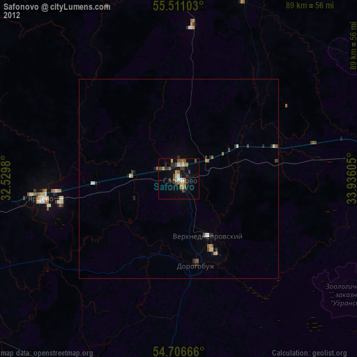
» Earth at Night: Flat Maps 2012, 2016