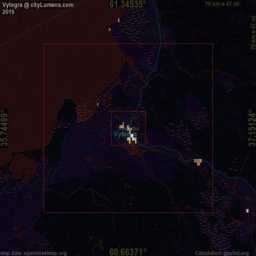
Vytegra night lights from space
Night Light of Vytegra (Vologda) from space (Russia) Src. Average luminocity for 10x10km area is 6.657% and for 50x50km: 0.3593%.
Analysis of Vytegra night lights 2016
Square area 10x10 km:
 0.62%
0.62%90-99
1.24%80-89
0.62%70-79
1.65%60-69
0.83%50-59
0.93%40-49
1.55%30-39
0%20-29
0%10-19
0%0-9
92.56%Square area 50x50 km:
0.03%90-99
0.05%80-89
0.03%70-79
0.07%60-69
0.07%50-59
0.08%40-49
0.11%30-39
0%20-29
0%10-19
0%0-9
99.57%Clear (daylight) street map image can be seen on geolist.org.
Map coordinates:
61° 20' 43.3" North, 35° 44' 42" East
61° 0' 22.9" North, 36° 26' 53.2" East
60° 39' 49.4" North, 37° 9' 4.5" East
Some cities around Vytegra sort by population:
• Petrozavodsk
141.4 km =87.9 mi,  307°
307°
• Kondopoga
176.5 km =109.7 mi,  319°
319°
• Lodeynoye Pole
159.8 km =99.3 mi,  258°
258°
• Podporozh’ye
123.4 km =76.7 mi,  265°
265°
• Belozërsk
131.7 km =81.8 mi,  145°
145°
• Kargopol’
144.7 km =89.9 mi,  67°
67°
• Pudozh
88.8 km =55.2 mi,  2°
2°
• Kirillov
165.5 km =102.8 mi,  140°
140°
469960 (p: 11,099)
Sources (retrieved 2019-11-25):
» Earth at Night: Flat Maps 2012, 2016