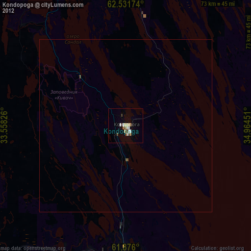
Kondopoga night lights from space
Night Light of Kondopoga (Karelia) from space (Russia) Src. Average luminocity for 10x10km area is 15.97% and for 50x50km: 0.85%.
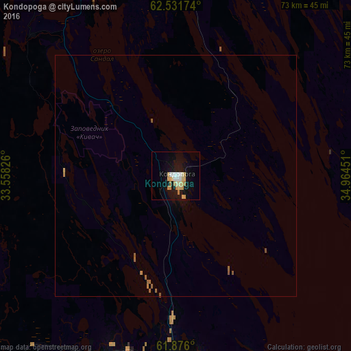
Analysis of Kondopoga night lights 2016
Square area 10x10 km:
 2.17%
2.17%90-99
3.21%80-89
2.28%70-79
4.45%60-69
1.97%50-59
0%40-49
0%30-39
0%20-29
0%10-19
17.7%0-9
68.22%Square area 50x50 km:
0.08%90-99
0.12%80-89
0.09%70-79
0.2%60-69
0.13%50-59
0.19%40-49
0.02%30-39
0%20-29
0%10-19
0.73%0-9
98.44%Clear (daylight) street map image can be seen on geolist.org.
Map coordinates:
62° 31' 54.3" North, 33° 33' 29.7" East
62° 12' 20.3" North, 34° 15' 41" East
61° 52' 33.6" North, 34° 57' 52.2" East
Some cities around Kondopoga sort by population:
• Petrozavodsk
47 km =29.2 mi,  174°
174°
• Podporozh’ye
144 km =89.5 mi,  181°
181°
• Medvezh’yegorsk
79.7 km =49.5 mi,  7°
7°
• Pitkyaranta
161.8 km =100.5 mi,  244°
244°
• Suoyarvi
100.2 km =62.3 mi,  262°
262°
• Pudozh
126.4 km =78.5 mi,  110°
110°
• Olonets
152 km =94.4 mi,  206°
206°
• Pindushi
80.6 km =50.1 mi, 11°
545626 (p: 34,360)
Sources (retrieved 2019-11-25):
» Earth at Night: Flat Maps 2012, 2016