Podporozh’ye night lights from space
Night Light of Podporozh’ye (Leningradskaya Oblast') from space (Russia) Src. Average luminocity for 10x10km area is 11.1188% and for 50x50km: 0.7794%.
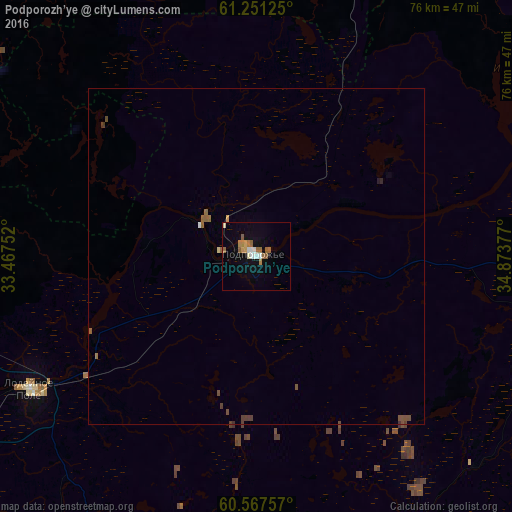
Analysis of Podporozh’ye night lights 2016
Square area 10x10 km:
 1.24%
1.24%90-99
2.27%80-89
0.31%70-79
1.34%60-69
2.89%50-59
2.69%40-49
0%30-39
0%20-29
0%10-19
3.31%0-9
85.95%Square area 50x50 km:
0.05%90-99
0.1%80-89
0.03%70-79
0.07%60-69
0.15%50-59
0.29%40-49
0.18%30-39
0.04%20-29
0.02%10-19
0.15%0-9
98.92%Clear (daylight) street map image can be seen on geolist.org.
Map coordinates:
61° 15' 4.5" North, 33° 28' 3.1" East
60° 54' 40.5" North, 34° 10' 14.3" East
60° 34' 3.3" North, 34° 52' 25.6" East
Some cities around Podporozh’ye sort by population:
• Petrozavodsk
97.6 km =60.6 mi,  5°
5°
• Tikhvin
145.1 km =90.2 mi,  194°
194°
• Kondopoga
144 km =89.5 mi,  1°
1°
• Lodeynoye Pole
39.3 km =24.4 mi,  238°
238°
• Syas’stroy
122.9 km =76.4 mi,  225°
225°
• Vytegra
123.4 km =76.7 mi,  85°
85°
• Olonets
65.4 km =40.6 mi,  277°
277°
• Novaya Ladoga
136.2 km =84.6 mi, 228°
508034 (p: 19,600)
Sources (retrieved 2019-11-25):
» Earth at Night: Flat Maps 2012, 2016