Vuktyl night lights from space
Night Light of Vuktyl (Komi) from space (Russia) Src. Average luminocity for 10x10km area is 2.7438% and for 50x50km: 0.1479%.
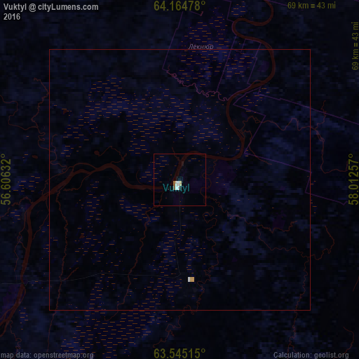
Analysis of Vuktyl night lights 2016
Square area 10x10 km:
 0.38%
0.38%90-99
1.14%80-89
0.38%70-79
0%60-69
0%50-59
0.57%40-49
0.19%30-39
0%20-29
0.19%10-19
0.57%0-9
96.57%Square area 50x50 km:
0.02%90-99
0.05%80-89
0.01%70-79
0.03%60-69
0%50-59
0.02%40-49
0.01%30-39
0%20-29
0.01%10-19
0.02%0-9
99.82%Clear (daylight) street map image can be seen on geolist.org.
Map coordinates:
64° 9' 53.2" North, 56° 36' 22.8" East
63° 51' 24" North, 57° 18' 34" East
63° 32' 42.5" North, 58° 0' 45.3" East
Some cities around Vuktyl sort by population:
• Ukhta
181.4 km =112.7 mi,  259°
259°
• Pechora
143.5 km =89.2 mi,  358°
358°
• Usinsk
237.9 km =147.8 mi,  2°
2°
• Sosnogorsk
171 km =106.3 mi, 260°
• Nizhniy Odes
122.9 km =76.4 mi, 258°
• Troitsko-Pechorsk
139.3 km =86.6 mi,  203°
203°
• Yarega
190.1 km =118.1 mi, 255°
• Vodnyy
196.2 km =121.9 mi, 258°
470905 (p: 13,693)
Sources (retrieved 2019-11-25):
» Earth at Night: Flat Maps 2012, 2016