Troitsko-Pechorsk night lights from space
Night Light of Troitsko-Pechorsk (Komi) from space (Russia) Src. Average luminocity for 10x10km area is 0.6587% and for 50x50km: 0.0258%.
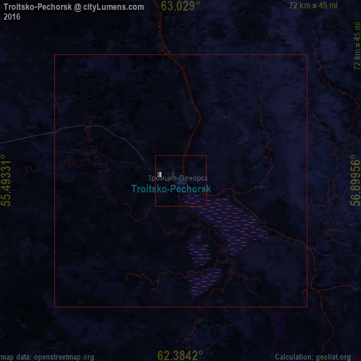
Analysis of Troitsko-Pechorsk night lights 2016
Square area 10x10 km:
 0.2%
0.2%90-99
0.2%80-89
0%70-79
0%60-69
0%50-59
0%40-49
0%30-39
0.4%20-29
0%10-19
0.4%0-9
98.81%Square area 50x50 km:
0.01%90-99
0.01%80-89
0%70-79
0%60-69
0%50-59
0%40-49
0%30-39
0.02%20-29
0%10-19
0.02%0-9
99.95%Clear (daylight) street map image can be seen on geolist.org.
Map coordinates:
63° 1' 44.4" North, 55° 29' 35.9" East
62° 42' 30.1" North, 56° 11' 47.1" East
62° 23' 3.1" North, 56° 53' 58.4" East
Some cities around Troitsko-Pechorsk sort by population:
• Ukhta
158.3 km =98.4 mi,  307°
307°
• Sosnogorsk
152.9 km =95 mi, 310°
• Vuktyl
139.3 km =86.6 mi,  23°
23°
• Nizhniy Odes
123.9 km =77 mi,  327°
327°
• Yarega
154.7 km =96.1 mi,  301°
301°
• Nyrob
221.4 km =137.6 mi,  172°
172°
• Vodnyy
165.8 km =103 mi, 302°
• Ust’-Kulom
172.6 km =107.2 mi,  228°
228°
481548 (p: 8,414)
Sources (retrieved 2019-11-25):
» Earth at Night: Flat Maps 2012, 2016