Nizhniy Odes night lights from space
Night Light of Nizhniy Odes (Komi) from space (Russia) Src. Average luminocity for 10x10km area is 6.6487% and for 50x50km: 0.2717%.
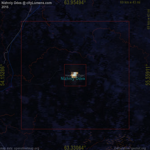
Analysis of Nizhniy Odes night lights 2016
Square area 10x10 km:
 0.57%
0.57%90-99
1.7%80-89
0.38%70-79
0.57%60-69
0.85%50-59
1.52%40-49
0.85%30-39
0.76%20-29
0.38%10-19
0.47%0-9
91.95%Square area 50x50 km:
0.02%90-99
0.07%80-89
0.02%70-79
0.02%60-69
0.03%50-59
0.06%40-49
0.03%30-39
0.03%20-29
0.02%10-19
0.02%0-9
99.68%Clear (daylight) street map image can be seen on geolist.org.
Map coordinates:
63° 57' 17.8" North, 54° 9' 10.3" East
63° 38' 40.2" North, 54° 51' 21.5" East
63° 19' 50.3" North, 55° 33' 32.8" East
Some cities around Nizhniy Odes sort by population:
• Ukhta
58.6 km =36.4 mi,  261°
261°
• Pechora
202.1 km =125.6 mi,  34°
34°
• Sosnogorsk
48.4 km =30.1 mi, 264°
• Vuktyl
122.9 km =76.4 mi,  78°
78°
• Troitsko-Pechorsk
123.9 km =77 mi,  147°
147°
• Yarega
67.5 km =41.9 mi,  249°
249°
• Vodnyy
73.2 km =45.5 mi, 257°
• Ust’-Kulom
225.7 km =140.2 mi,  195°
195°
520552 (p: 11,165)
Sources (retrieved 2019-11-25):
» Earth at Night: Flat Maps 2012, 2016