Ukhta night lights from space
Night Light of Ukhta (Komi) from space (Russia) Src. Average luminocity for 10x10km area is 46.9792% and for 50x50km: 4.4869%.
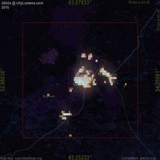
Analysis of Ukhta night lights 2016
Square area 10x10 km:
 13.16%
90-99
13.26%80-89
3.79%70-79
2.84%60-69
3.03%50-59
4.36%40-49
6.25%30-39
5.21%20-29
15.91%10-19
15.72%0-9
16.48%Square area 50x50 km:
0.92%90-99
0.96%80-89
0.38%70-79
0.28%60-69
0.39%50-59
0.36%40-49
0.44%30-39
0.41%20-29
1.19%10-19
4.29%0-9
90.38%Clear (daylight) street map image can be seen on geolist.org.
Map coordinates:
63° 52' 42" North, 52° 58' 49.3" East
63° 34' 1.4" North, 53° 41' 0.5" East
63° 15' 8.4" North, 54° 23' 11.8" East
Some cities around Ukhta sort by population:
• Sosnogorsk
10.6 km =6.6 mi,  68°
68°
• Yemva
178.9 km =111.2 mi,  232°
232°
• Vuktyl
181.4 km =112.7 mi,  79°
79°
• Nizhniy Odes
58.6 km =36.4 mi, 81°
• Troitsko-Pechorsk
158.3 km =98.4 mi,  127°
127°
• Yarega
15.6 km =9.7 mi,  199°
199°
• Vodnyy
15.2 km =9.4 mi,  242°
242°
• Ust’-Kulom
209.1 km =129.9 mi,  179°
179°
479411 (p: 102,187)
Sources (retrieved 2019-11-25):
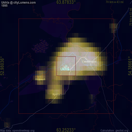
» NASA, Earths city lights 1995
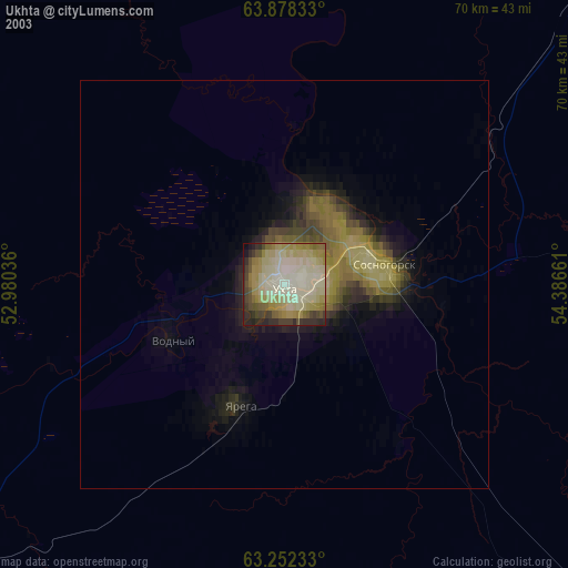
» NASA city lights 2003
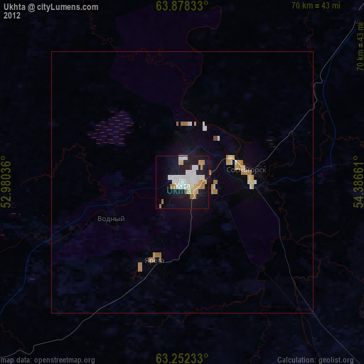
» Earth at Night: Flat Maps 2012, 2016