Vorotynets night lights from space
Night Light of Vorotynets (Nizhny Novgorod Oblast) from space (Russia) Src. Average luminocity for 10x10km area is 4.5981% and for 50x50km: 0.5843%.
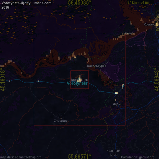
Analysis of Vorotynets night lights 2016
Square area 10x10 km:
 0%
0%90-99
0%80-89
0.12%70-79
1.44%60-69
3.23%50-59
0.96%40-49
0%30-39
0%20-29
0%10-19
0%0-9
94.26%Square area 50x50 km:
0%90-99
0%80-89
0.04%70-79
0.08%60-69
0.16%50-59
0.11%40-49
0.02%30-39
0.09%20-29
0.76%10-19
0%0-9
98.74%Clear (daylight) street map image can be seen on geolist.org.
Map coordinates:
56° 27' 3.1" North, 45° 9' 36.6" East
56° 3' 37" North, 45° 51' 47.9" East
55° 39' 56.6" North, 46° 33' 59.1" East
Some cities around Vorotynets sort by population:
• Shumerlya
71.1 km =44.2 mi,  151°
151°
• Lyskovo
51.1 km =31.8 mi,  266°
266°
• Koz’modem’yansk
53.4 km =33.2 mi,  54°
54°
• Sergach
63.9 km =39.7 mi,  202°
202°
• Yadrin
25.1 km =15.6 mi,  121°
121°
• Bol’shoye Murashkino
74.5 km =46.3 mi,  245°
245°
• Knyaginino
58 km =36 mi,  242°
242°
• Pil’na
56.4 km =35 mi,  176°
176°
471799 (p: 6,151)
Sources (retrieved 2019-11-25):
» Earth at Night: Flat Maps 2012, 2016