Koz’modem’yansk night lights from space
Night Light of Koz’modem’yansk (Mariy-El Republic) from space (Russia) Src. Average luminocity for 10x10km area is 7.4667% and for 50x50km: 0.6226%.
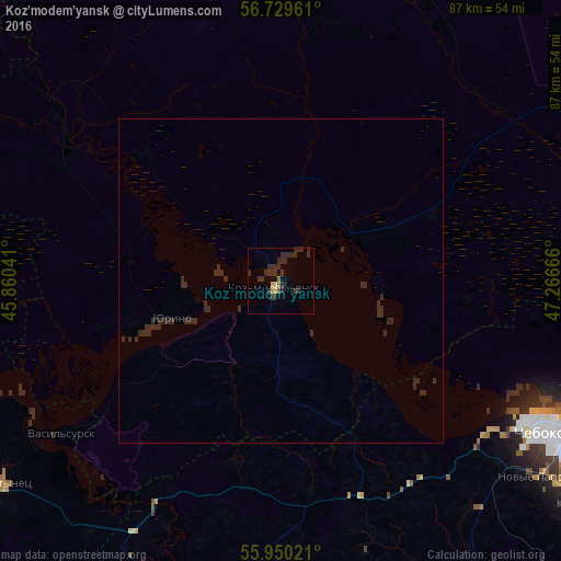
Analysis of Koz’modem’yansk night lights 2016
Square area 10x10 km:
 0%
0%90-99
0%80-89
0.48%70-79
1.43%60-69
0.6%50-59
0.36%40-49
0.48%30-39
4.05%20-29
9.76%10-19
0.95%0-9
81.9%Square area 50x50 km:
0%90-99
0%80-89
0.02%70-79
0.06%60-69
0.02%50-59
0.01%40-49
0.02%30-39
0.18%20-29
1.43%10-19
0.04%0-9
98.23%Clear (daylight) street map image can be seen on geolist.org.
Map coordinates:
56° 43' 46.6" North, 45° 51' 37.5" East
56° 20' 30.8" North, 46° 33' 48.7" East
55° 57' 0.8" North, 47° 15' 60" East
Some cities around Koz’modem’yansk sort by population:
• Cheboksary
48.5 km =30.1 mi,  118°
118°
• Novocheboksarsk
62.1 km =38.6 mi,  114°
114°
• Tsivil’sk
77.3 km =48 mi,  132°
132°
• Kugesi
57 km =35.4 mi, 127°
• Yadrin
49.8 km =30.9 mi,  206°
206°
• Mariinskiy Posad
75.7 km =47 mi, 109°
• Novyye Lapsary
50.4 km =31.3 mi, 127°
• Vorotynets
53.4 km =33.2 mi,  234°
234°
543018 (p: 22,700)
Sources (retrieved 2019-11-25):
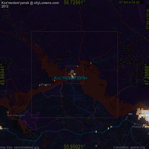
» Earth at Night: Flat Maps 2012, 2016