Dem’yanovo night lights from space
Night Light of Dem’yanovo (Kirov) from space (Russia) Src. Average luminocity for 10x10km area is 0% and for 50x50km: 0%.
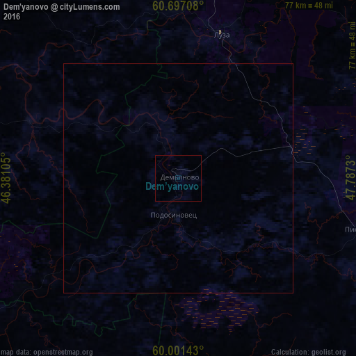
Analysis of Dem’yanovo night lights 2016
Square area 10x10 km:
 0%
0%90-99
0%80-89
0%70-79
0%60-69
0%50-59
0%40-49
0%30-39
0%20-29
0%10-19
0%0-9
100%Square area 50x50 km:
0%90-99
0%80-89
0%70-79
0%60-69
0%50-59
0%40-49
0%30-39
0%20-29
0%10-19
0%0-9
100%Clear (daylight) street map image can be seen on geolist.org.
Map coordinates:
60° 41' 49.5" North, 46° 22' 51.8" East
60° 21' 4" North, 47° 5' 3" East
60° 0' 5.1" North, 47° 47' 14.3" East
Some cities around Dem’yanovo sort by population:
• Kotlas
103.5 km =64.3 mi,  346°
346°
• Koryazhma
107.2 km =66.6 mi,  2°
2°
• Velikiy Ustyug
62.1 km =38.6 mi,  317°
317°
• Vychegodskiy
100.1 km =62.2 mi, 354°
• Luza
32.4 km =20.1 mi,  16°
16°
• Nikol’sk
128.2 km =79.7 mi,  224°
224°
• Krasavino
75.4 km =46.9 mi,  334°
334°
• Kichmengskiy Gorodok
82.8 km =51.4 mi,  240°
240°
566635 (p: 6,148)
Sources (retrieved 2019-11-25):
» Earth at Night: Flat Maps 2012, 2016