Kotlas night lights from space
Night Light of Kotlas (Arkhangelskaya) from space (Russia) Src. Average luminocity for 10x10km area is 32.469% and for 50x50km: 2.3394%.
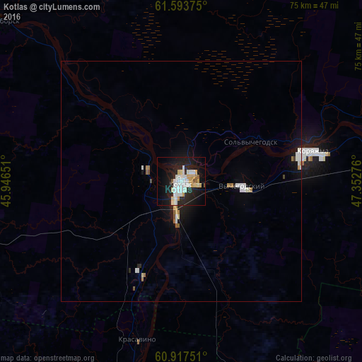
Analysis of Kotlas night lights 2016
Square area 10x10 km:
 7.33%
7.33%90-99
9.71%80-89
3.62%70-79
4.13%60-69
0.21%50-59
1.86%40-49
0.21%30-39
0%20-29
12.09%10-19
28.41%0-9
32.44%Square area 50x50 km:
0.45%90-99
0.6%80-89
0.22%70-79
0.21%60-69
0.16%50-59
0.18%40-49
0.08%30-39
0.02%20-29
0.58%10-19
1.93%0-9
95.56%Clear (daylight) street map image can be seen on geolist.org.
Map coordinates:
61° 35' 37.5" North, 45° 56' 47.4" East
61° 15' 26.8" North, 46° 38' 58.7" East
60° 55' 3" North, 47° 21' 9.9" East
Some cities around Kotlas sort by population:
• Koryazhma
28.5 km =17.7 mi,  77°
77°
• Velikiy Ustyug
58 km =36 mi,  198°
198°
• Mirnyy
113.2 km =70.3 mi,  274°
274°
• Vychegodskiy
13.4 km =8.3 mi,  94°
94°
• Luza
76.9 km =47.8 mi,  155°
155°
• Krasavino
34 km =21.1 mi, 195°
• Kichmengskiy Gorodok
149.5 km =92.9 mi, 198°
• Dem’yanovo
103.5 km =64.3 mi,  166°
166°
543704 (p: 59,180)
Sources (retrieved 2019-11-25):
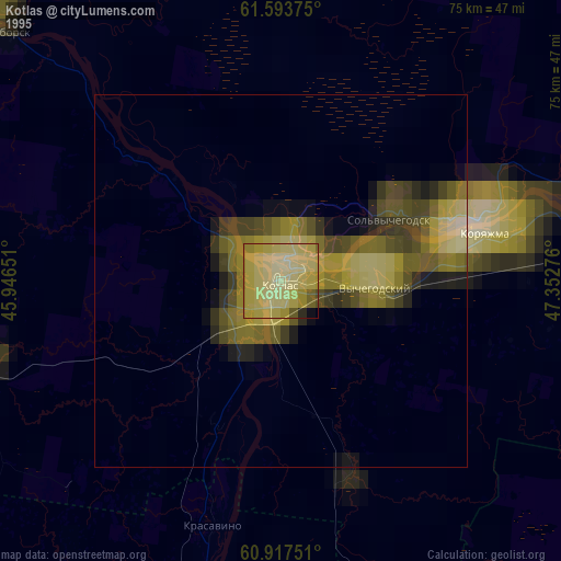
» NASA, Earths city lights 1995
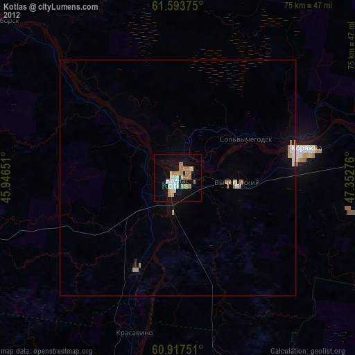
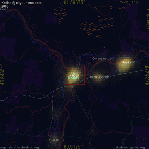
» NASA city lights 2003
» Earth at Night: Flat Maps 2012, 2016