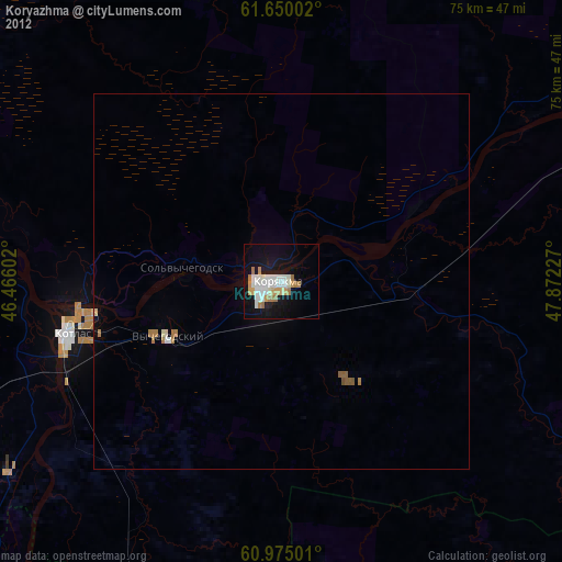
Koryazhma night lights from space
Night Light of Koryazhma (Arkhangelskaya) from space (Russia) Src. Average luminocity for 10x10km area is 21.9358% and for 50x50km: 1.485%.

Analysis of Koryazhma night lights 2016
Square area 10x10 km:
 6.13%
6.13%90-99
6.52%80-89
1.19%70-79
1.19%60-69
0.89%50-59
0.69%40-49
0%30-39
0.4%20-29
0.79%10-19
31.62%0-9
50.59%Square area 50x50 km:
0.34%90-99
0.36%80-89
0.11%70-79
0.09%60-69
0.1%50-59
0.09%40-49
0.03%30-39
0.02%20-29
0.06%10-19
1.63%0-9
97.19%Clear (daylight) street map image can be seen on geolist.org.
Map coordinates:
61° 39' 0.1" North, 46° 27' 57.7" East
61° 18' 51.6" North, 47° 10' 8.9" East
60° 58' 30" North, 47° 52' 20.2" East
Some cities around Koryazhma sort by population:
• Kotlas
28.5 km =17.7 mi,  257°
257°
• Velikiy Ustyug
76.8 km =47.7 mi,  216°
216°
• Mirnyy
140.5 km =87.3 mi,  270°
270°
• Vychegodskiy
16.3 km =10.1 mi,  242°
242°
• Luza
76.1 km =47.3 mi,  176°
176°
• Zheshart
152.3 km =94.6 mi,  56°
56°
• Krasavino
53.7 km =33.4 mi, 223°
• Dem’yanovo
107.2 km =66.6 mi, 182°
544370 (p: 42,627)
Sources (retrieved 2019-11-25):
» Earth at Night: Flat Maps 2012, 2016