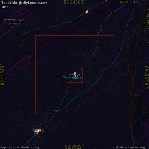
Topchikha night lights from space
Night Light of Topchikha (Altai Krai) from space (Russia) Src. Average luminocity for 10x10km area is 1.6465% and for 50x50km: 0.068%.
Analysis of Topchikha night lights 2016
Square area 10x10 km:
 0%
0%90-99
0%80-89
0.51%70-79
0.51%60-69
0.13%50-59
0.88%40-49
0%30-39
0%20-29
0.51%10-19
0%0-9
97.47%Square area 50x50 km:
0%90-99
0%80-89
0.02%70-79
0.02%60-69
0.01%50-59
0.04%40-49
0%30-39
0%20-29
0.02%10-19
0%0-9
99.9%Clear (daylight) street map image can be seen on geolist.org.
Map coordinates:
53° 14' 31.4" North, 82° 24' 55.4" East
52° 49' 9.1" North, 83° 7' 6.6" East
52° 23' 31.9" North, 83° 49' 17.9" East
Some cities around Topchikha sort by population:
• Barnaul
74 km =46 mi,  35°
35°
• Aleysk
42.8 km =26.6 mi,  211°
211°
• Yuzhnyy
61.8 km =38.4 mi, 38°
• Novosilikatnyy
64.1 km =39.8 mi,  31°
31°
• Pavlovsk
56.3 km =35 mi,  350°
350°
• Rebrikha
59.3 km =36.8 mi,  298°
298°
• Nagornyy
29.1 km =18.1 mi,  95°
95°
• Ust’-Charyshskaya Pristan’
60 km =37.3 mi,  142°
142°
1489398 (p: 9,301)
Sources (retrieved 2019-11-25):
» Earth at Night: Flat Maps 2012, 2016