Smolenskoye night lights from space
Night Light of Smolenskoye (Altai Krai) from space (Russia) Src. Average luminocity for 10x10km area is 0% and for 50x50km: 1.0355%.
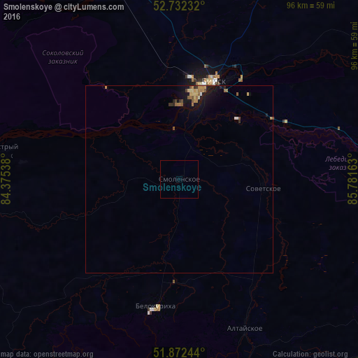
Analysis of Smolenskoye night lights 2016
Square area 10x10 km:
 0%
0%90-99
0%80-89
0%70-79
0%60-69
0%50-59
0%40-49
0%30-39
0%20-29
0%10-19
0%0-9
100%Square area 50x50 km:
0.04%90-99
0.04%80-89
0.21%70-79
0.16%60-69
0.27%50-59
0.18%40-49
0.1%30-39
0.13%20-29
0.12%10-19
1.11%0-9
97.65%Clear (daylight) street map image can be seen on geolist.org.
Map coordinates:
52° 43' 56.4" North, 84° 22' 31.4" East
52° 18' 16.1" North, 85° 4' 42.6" East
51° 52' 20.8" North, 85° 46' 53.9" East
Some cities around Smolenskoye sort by population:
• Biysk
27.2 km =16.9 mi,  18°
18°
• Gorno-Altaysk
68.9 km =42.8 mi,  123°
123°
• Mayma
65.1 km =40.5 mi, 119°
• Belokurikha
34.8 km =21.6 mi,  190°
190°
• Altayskoye
42.7 km =26.5 mi,  156°
156°
• Krasnogorskoye
76.1 km =47.3 mi,  90°
90°
• Pervomayskoye
34.9 km =21.7 mi, 20°
• Sovetskoye
22.9 km =14.2 mi,  95°
95°
1491633 (p: 9,431)
Sources (retrieved 2019-11-25):
» Earth at Night: Flat Maps 2012, 2016