Nagornyy night lights from space
Night Light of Nagornyy (Altai Krai) from space (Russia) Src. Average luminocity for 10x10km area is 0% and for 50x50km: 0%.
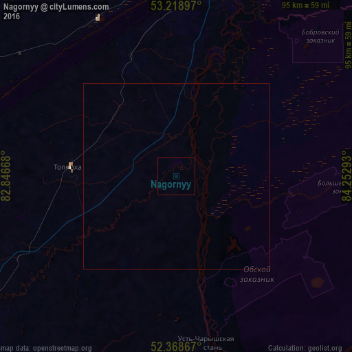
Analysis of Nagornyy night lights 2016
Square area 10x10 km:
 0%
0%90-99
0%80-89
0%70-79
0%60-69
0%50-59
0%40-49
0%30-39
0%20-29
0%10-19
0%0-9
100%Square area 50x50 km:
0%90-99
0%80-89
0%70-79
0%60-69
0%50-59
0%40-49
0%30-39
0%20-29
0%10-19
0%0-9
100%Clear (daylight) street map image can be seen on geolist.org.
Map coordinates:
53° 13' 8.3" North, 82° 50' 48" East
52° 47' 45.2" North, 83° 32' 59.3" East
52° 22' 7.2" North, 84° 15' 10.5" East
Some cities around Nagornyy sort by population:
• Barnaul
64.4 km =40 mi,  12°
12°
• Novoaltaysk
71.1 km =44.2 mi,  21°
21°
• Aleysk
61.8 km =38.4 mi,  236°
236°
• Yuzhnyy
51.9 km =32.2 mi, 10°
• Novosilikatnyy
57.3 km =35.6 mi,  4°
4°
• Pavlovsk
69.4 km =43.1 mi,  326°
326°
• Topchikha
29.1 km =18.1 mi,  275°
275°
• Ust’-Charyshskaya Pristan’
45.4 km =28.2 mi,  170°
170°
1498067 (p: 6,308)
Sources (retrieved 2019-11-25):
» Earth at Night: Flat Maps 2012, 2016