Tynda night lights from space
Night Light of Tynda (Amur Oblast) from space (Russia) Src. Average luminocity for 10x10km area is 7.6028% and for 50x50km: 0.3328%.
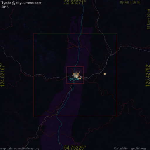
Analysis of Tynda night lights 2016
Square area 10x10 km:
 0%
0%90-99
0.5%80-89
0%70-79
1%60-69
1%50-59
2.01%40-49
3.01%30-39
3.01%20-29
3.51%10-19
0.5%0-9
85.46%Square area 50x50 km:
0%90-99
0.02%80-89
0.02%70-79
0.04%60-69
0.06%50-59
0.08%40-49
0.12%30-39
0.12%20-29
0.14%10-19
0.02%0-9
99.4%Clear (daylight) street map image can be seen on geolist.org.
Map coordinates:
55° 33' 20.6" North, 124° 1' 18" East
55° 9' 21.6" North, 124° 43' 29.2" East
54° 45' 8.1" North, 125° 25' 40.5" East
Some cities around Tynda sort by population:
• Neryungri
168 km =104.4 mi,  358°
358°
• Tahe, CN
313.9 km =195 mi,  179°
179°
• Zeya
227.4 km =141.3 mi,  133°
133°
• Mogocha
357.4 km =222.1 mi,  243°
243°
• Magdagachi
201.9 km =125.5 mi,  159°
159°
• Chul’man
188.4 km =117.1 mi,  3°
3°
• Skovorodino
139.7 km =86.8 mi,  201°
201°
• Yerofey Pavlovich
222.3 km =138.1 mi,  233°
233°
2014718 (p: 37,335)
Sources (retrieved 2019-11-25):
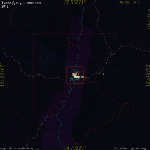
» Earth at Night: Flat Maps 2012, 2016