Neryungri night lights from space
Night Light of Neryungri (Sakha) from space (Russia) Src. Average luminocity for 10x10km area is 20.2155% and for 50x50km: 2.0774%.
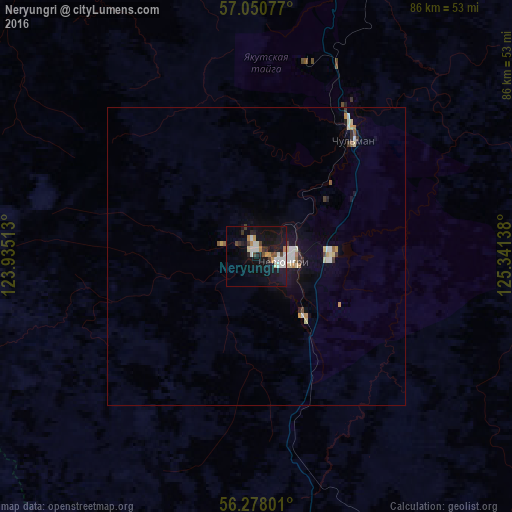
Analysis of Neryungri night lights 2016
Square area 10x10 km:
 4.17%
4.17%90-99
3.81%80-89
0.83%70-79
2.86%60-69
0.71%50-59
0.95%40-49
2.98%30-39
2.14%20-29
3.45%10-19
27.26%0-9
50.83%Square area 50x50 km:
0.32%90-99
0.35%80-89
0.28%70-79
0.24%60-69
0.1%50-59
0.16%40-49
0.17%30-39
0.26%20-29
0.24%10-19
1.75%0-9
96.12%Clear (daylight) street map image can be seen on geolist.org.
Map coordinates:
57° 3' 2.8" North, 123° 56' 6.5" East
56° 39' 58.9" North, 124° 38' 17.7" East
56° 16' 40.8" North, 125° 20' 29" East
Some cities around Neryungri sort by population:
• Tynda
168 km =104.4 mi,  178°
178°
• Aldan
220.8 km =137.2 mi,  11°
11°
• Magdagachi
364.9 km =226.7 mi,  168°
168°
• Chul’man
26 km =16.2 mi,  39°
39°
• Skovorodino
301.4 km =187.3 mi,  188°
188°
• Tommot
272.9 km =169.6 mi,  21°
21°
• Nizhniy Kuranakh
245.6 km =152.6 mi, 12°
• Yerofey Pavlovich
345.1 km =214.4 mi,  209°
209°
2019309 (p: 66,320)
Sources (retrieved 2019-11-25):
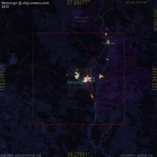
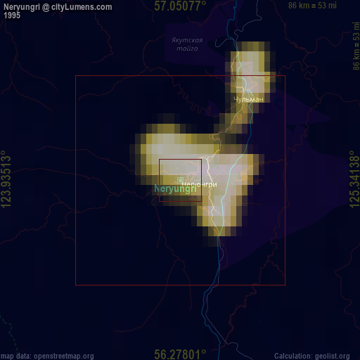
» NASA, Earths city lights 1995
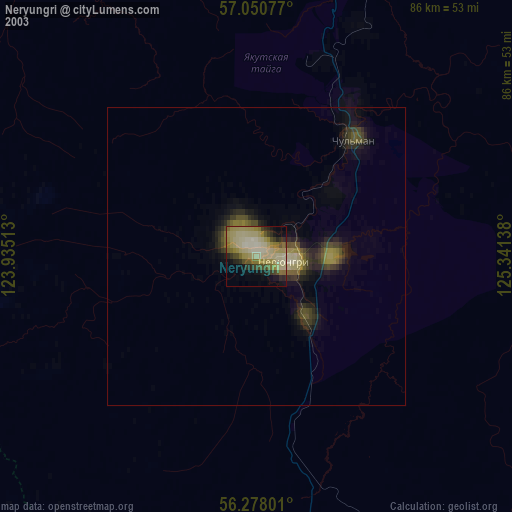
» NASA city lights 2003
» Earth at Night: Flat Maps 2012, 2016