Skovorodino night lights from space
Night Light of Skovorodino (Amur Oblast) from space (Russia) Src. Average luminocity for 10x10km area is 5.3801% and for 50x50km: 0.3116%.
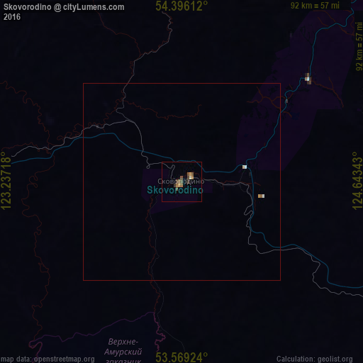
Analysis of Skovorodino night lights 2016
Square area 10x10 km:
 0%
0%90-99
0.51%80-89
0%70-79
1.01%60-69
1.52%50-59
1.52%40-49
1.89%30-39
1.64%20-29
0%10-19
0.51%0-9
91.41%Square area 50x50 km:
0.03%90-99
0.03%80-89
0.02%70-79
0.06%60-69
0.06%50-59
0.08%40-49
0.08%30-39
0.07%20-29
0%10-19
0.06%0-9
99.52%Clear (daylight) street map image can be seen on geolist.org.
Map coordinates:
54° 23' 46" North, 123° 14' 13.8" East
53° 59' 5" North, 123° 56' 25.1" East
53° 34' 9.3" North, 124° 38' 36.3" East
Some cities around Skovorodino sort by population:
• Neryungri
301.4 km =187.3 mi,  8°
8°
• Tahe, CN
191.1 km =118.7 mi,  163°
163°
• Tynda
139.7 km =86.8 mi,  21°
21°
• Zeya
219.2 km =136.2 mi,  97°
97°
• Mogocha
275.2 km =171 mi,  264°
264°
• Magdagachi
136.4 km =84.8 mi,  115°
115°
• Chul’man
324.1 km =201.4 mi, 10°
• Yerofey Pavlovich
129.7 km =80.6 mi,  268°
268°
2016443 (p: 10,007)
Sources (retrieved 2019-11-25):
» Earth at Night: Flat Maps 2012, 2016