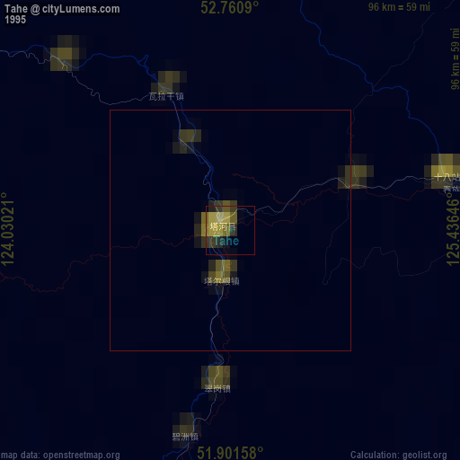
Tahe night lights from space
Night Light of Tahe (Heilongjiang) from space (China) Src. Average luminocity for 10x10km area is 1.4697% and for 50x50km: 0.0612%.
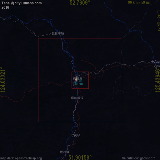
Analysis of Tahe night lights 2016
Square area 10x10 km:
 0%
0%90-99
0%80-89
0%70-79
0.25%60-69
0.25%50-59
0%40-49
0.51%30-39
1.14%20-29
1.26%10-19
0.13%0-9
96.46%Square area 50x50 km:
0%90-99
0%80-89
0%70-79
0.01%60-69
0.01%50-59
0%40-49
0.02%30-39
0.05%20-29
0.05%10-19
0.01%0-9
99.85%Clear (daylight) street map image can be seen on geolist.org.
Map coordinates:
52° 45' 39.2" North, 124° 1' 48.8" East
52° 19' 60" North, 124° 43' 60" East
51° 54' 5.7" North, 125° 26' 11.3" East
Some cities around Tahe sort by population:
• Jiagedaqi
217.4 km =135.1 mi,  191°
191°
• Oroqen Zizhiqi
208.7 km =129.7 mi,  199°
199°
• Svobodnyy, RU
257.1 km =159.8 mi,  114°
114°
• Zeya, RU
229.7 km =142.7 mi,  47°
47°
• Shimanovsk, RU
204 km =126.8 mi,  100°
100°
• Magdagachi, RU
144 km =89.5 mi,  30°
30°
• Skovorodino, RU
191.1 km =118.7 mi,  343°
343°
• Tsiolkovskiy, RU
239.6 km =148.9 mi, 105°
2034615 (p: 60,874)
Sources (retrieved 2019-11-25):
» NASA, Earths city lights 1995
» NASA city lights 2003
» Earth at Night: Flat Maps 2012, 2016