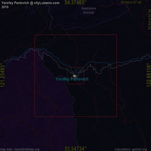
Yerofey Pavlovich night lights from space
Night Light of Yerofey Pavlovich (Amur Oblast) from space (Russia) Src. Average luminocity for 10x10km area is 1.0437% and for 50x50km: 0.0393%.
Analysis of Yerofey Pavlovich night lights 2016
Square area 10x10 km:
 0%
0%90-99
0%80-89
0%70-79
0.53%60-69
0%50-59
0.53%40-49
0%30-39
0.53%20-29
0.53%10-19
0%0-9
97.88%Square area 50x50 km:
0%90-99
0%80-89
0%70-79
0.02%60-69
0%50-59
0.02%40-49
0%30-39
0.02%20-29
0.02%10-19
0%0-9
99.92%Clear (daylight) street map image can be seen on geolist.org.
Map coordinates:
54° 22' 28.7" North, 121° 15' 17.7" East
53° 57' 47" North, 121° 57' 29" East
53° 32' 50.4" North, 122° 39' 40.2" East
Some cities around Yerofey Pavlovich sort by population:
• Neryungri
345.1 km =214.4 mi,  29°
29°
• Tahe, CN
259 km =160.9 mi,  134°
134°
• Tynda
222.3 km =138.1 mi,  53°
53°
• Zeya
348.4 km =216.5 mi,  94°
94°
• Mogocha
146.1 km =90.8 mi,  259°
259°
• Magdagachi
259.7 km =161.4 mi,  102°
102°
• Skovorodino
129.7 km =80.6 mi, 88°
• Sretensk
341.7 km =212.3 mi,  236°
236°
2012938 (p: 5,409)
Sources (retrieved 2019-11-25):
» Earth at Night: Flat Maps 2012, 2016