Chul’man night lights from space
Night Light of Chul’man (Sakha) from space (Russia) Src. Average luminocity for 10x10km area is 6.5369% and for 50x50km: 1.9495%.
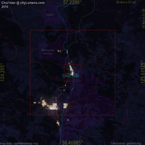
Analysis of Chul’man night lights 2016
Square area 10x10 km:
 0.48%
0.48%90-99
1.43%80-89
1.43%70-79
0.48%60-69
0.48%50-59
0.95%40-49
0%30-39
1.67%20-29
1.07%10-19
1.07%0-9
90.95%Square area 50x50 km:
0.3%90-99
0.33%80-89
0.25%70-79
0.19%60-69
0.1%50-59
0.19%40-49
0.22%30-39
0.27%20-29
0.23%10-19
1.68%0-9
96.23%Clear (daylight) street map image can be seen on geolist.org.
Map coordinates:
57° 13' 47.6" North, 124° 12' 18" East
56° 50' 50.5" North, 124° 54' 29.2" East
56° 27' 39.1" North, 125° 36' 40.5" East
Some cities around Chul’man sort by population:
• Neryungri
26 km =16.2 mi,  219°
219°
• Tynda
188.4 km =117.1 mi,  183°
183°
• Zeya
376.5 km =233.9 mi,  156°
156°
• Aldan
198.1 km =123.1 mi,  8°
8°
• Skovorodino
324.1 km =201.4 mi,  190°
190°
• Tommot
248.4 km =154.3 mi,  19°
19°
• Nizhniy Kuranakh
222.7 km =138.4 mi, 9°
• Yerofey Pavlovich
370.8 km =230.4 mi,  210°
210°
2025261 (p: 10,220)
Sources (retrieved 2019-11-25):
» Earth at Night: Flat Maps 2012, 2016