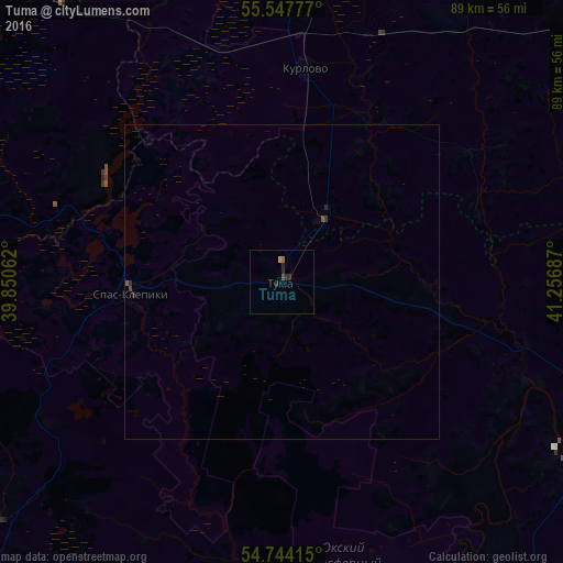
Tuma night lights from space
Night Light of Tuma (Ryazan Oblast) from space (Russia) Src. Average luminocity for 10x10km area is 1.6704% and for 50x50km: 0.1175%.
Analysis of Tuma night lights 2016
Square area 10x10 km:
 0%
0%90-99
0%80-89
0%70-79
0.5%60-69
0.5%50-59
0%40-49
0.5%30-39
0%20-29
2.51%10-19
0%0-9
95.99%Square area 50x50 km:
0%90-99
0%80-89
0%70-79
0.02%60-69
0.02%50-59
0.02%40-49
0.06%30-39
0.02%20-29
0.15%10-19
0%0-9
99.71%Clear (daylight) street map image can be seen on geolist.org.
Map coordinates:
55° 32' 52" North, 39° 51' 2.2" East
55° 8' 52.7" North, 40° 33' 13.5" East
54° 44' 38.9" North, 41° 15' 24.7" East
Some cities around Tuma sort by population:
• Gus’-Khrustal’nyy
51.9 km =32.2 mi,  6°
6°
• Kasimov
58.3 km =36.2 mi,  113°
113°
• Shatura
79.7 km =49.5 mi,  306°
306°
• Roshal’
72 km =44.7 mi,  323°
323°
• Melenki
71.3 km =44.3 mi,  73°
73°
• Kurlovo
31.9 km =19.8 mi,  352°
352°
• Polyany
66.5 km =41.3 mi,  224°
224°
• Spas-Klepiki
24 km =14.9 mi,  266°
266°
480484 (p: 6,432)
Sources (retrieved 2019-11-25):
» Earth at Night: Flat Maps 2012, 2016