Gus’-Khrustal’nyy night lights from space
Night Light of Gus’-Khrustal’nyy (Vladimir) from space (Russia) Src. Average luminocity for 10x10km area is 7.1115% and for 50x50km: 0.3274%.
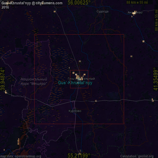
Analysis of Gus’-Khrustal’nyy night lights 2016
Square area 10x10 km:
 0.38%
0.38%90-99
0.13%80-89
0%70-79
1.25%60-69
2.63%50-59
1.75%40-49
2.38%30-39
1.88%20-29
0.5%10-19
0.13%0-9
88.97%Square area 50x50 km:
0.01%90-99
0%80-89
0%70-79
0.05%60-69
0.1%50-59
0.07%40-49
0.14%30-39
0.12%20-29
0.02%10-19
0%0-9
99.48%Clear (daylight) street map image can be seen on geolist.org.
Map coordinates:
56° 0' 22.5" North, 39° 56' 55.5" East
55° 36' 40.1" North, 40° 39' 6.7" East
55° 12' 43.2" North, 41° 21' 18" East
Some cities around Gus’-Khrustal’nyy sort by population:
• Vladimir
60.6 km =37.7 mi,  344°
344°
• Roshal’
49.2 km =30.6 mi,  277°
277°
• Sobinka
57.8 km =35.9 mi,  316°
316°
• Raduzhnyy
47.8 km =29.7 mi, 335°
• Sudogda
40.3 km =25 mi,  19°
19°
• Kurlovo
22.5 km =14 mi,  207°
207°
• Tuma
51.9 km =32.2 mi,  186°
186°
• Andreyevo
48.6 km =30.2 mi,  39°
39°
557775 (p: 62,746)
Sources (retrieved 2019-11-25):
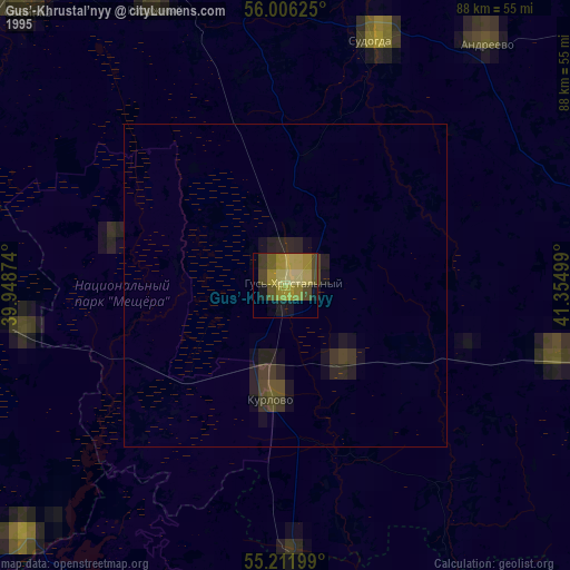
» NASA, Earths city lights 1995
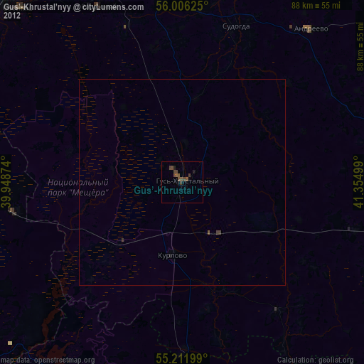
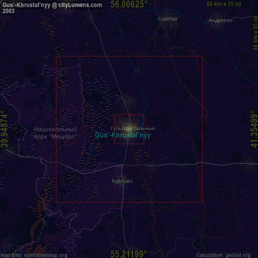
» NASA city lights 2003
» Earth at Night: Flat Maps 2012, 2016