Shatura night lights from space
Night Light of Shatura (Moscow Oblast) from space (Russia) Src. Average luminocity for 10x10km area is 12.6165% and for 50x50km: 0.6281%.
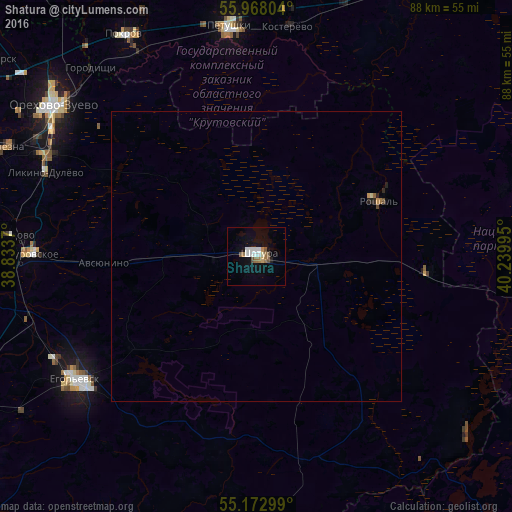
Analysis of Shatura night lights 2016
Square area 10x10 km:
 2.76%
2.76%90-99
2.63%80-89
0.63%70-79
0.38%60-69
2.63%50-59
1.63%40-49
0.88%30-39
0%20-29
0.13%10-19
5.39%0-9
82.96%Square area 50x50 km:
0.11%90-99
0.11%80-89
0.04%70-79
0.05%60-69
0.13%50-59
0.07%40-49
0.07%30-39
0%20-29
0.09%10-19
0.24%0-9
99.1%Clear (daylight) street map image can be seen on geolist.org.
Map coordinates:
55° 58' 4.9" North, 38° 50' 1.3" East
55° 34' 21.1" North, 39° 32' 12.6" East
55° 10' 22.8" North, 40° 14' 23.8" East
Some cities around Shatura sort by population:
• Yegor’yevsk
38.2 km =23.7 mi,  236°
236°
• Likino-Dulevo
39.6 km =24.6 mi,  292°
292°
• Kabanovo
42.5 km =26.4 mi,  297°
297°
• Roshal’
23.8 km =14.8 mi,  63°
63°
• Kurovskoye
38.8 km =24.1 mi,  271°
271°
• Petushki
39.6 km =24.6 mi,  353°
353°
• Kosterevo
40 km =24.9 mi,  6°
6°
• Avsyunino
26 km =16.2 mi, 268°
495518 (p: 30,069)
Sources (retrieved 2019-11-25):
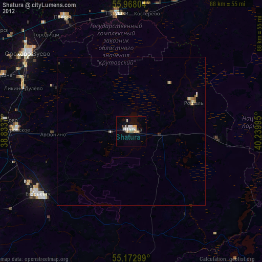
» Earth at Night: Flat Maps 2012, 2016