Roshal’ night lights from space
Night Light of Roshal’ (Moscow Oblast) from space (Russia) Src. Average luminocity for 10x10km area is 3.2201% and for 50x50km: 0.6767%.
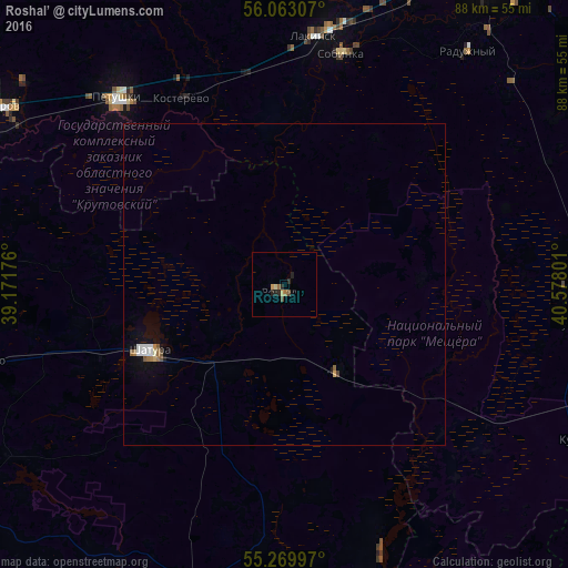
Analysis of Roshal’ night lights 2016
Square area 10x10 km:
 0%
0%90-99
0.12%80-89
0.36%70-79
0.96%60-69
0.72%50-59
0.24%40-49
0.96%30-39
0%20-29
2.15%10-19
0.84%0-9
93.66%Square area 50x50 km:
0.11%90-99
0.11%80-89
0.04%70-79
0.07%60-69
0.13%50-59
0.09%40-49
0.08%30-39
0.01%20-29
0.1%10-19
0.24%0-9
99.02%Clear (daylight) street map image can be seen on geolist.org.
Map coordinates:
56° 3' 47.1" North, 39° 10' 18.3" East
55° 40' 6.7" North, 39° 52' 29.6" East
55° 16' 11.9" North, 40° 34' 40.8" East
Some cities around Roshal’ sort by population:
• Shatura
23.8 km =14.8 mi,  243°
243°
• Sobinka
36.3 km =22.6 mi,  13°
13°
• Raduzhnyy
47.2 km =29.3 mi,  37°
37°
• Lakinsk
39.3 km =24.4 mi, 6°
• Petushki
38.6 km =24 mi,  317°
317°
• Kosterevo
33.3 km =20.7 mi,  330°
330°
• Kurlovo
46.5 km =28.9 mi,  124°
124°
• Avsyunino
48.6 km =30.2 mi,  256°
256°
501320 (p: 21,951)
Sources (retrieved 2019-11-25):
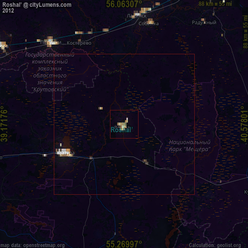
» Earth at Night: Flat Maps 2012, 2016